Sailing from Florida to the Bahamas: Routes, Costs & Tips
The crossing from Florida to the Bahamas is one of the shortest international sailing passages you can make — and one of the most rewarding. From Miami to Bimini, it's just 48 nautical miles across the Gulf Stream. From Fort Lauderdale to West End on Grand Bahama, about 56 nm. You can leave at dawn and anchor in turquoise water by early afternoon.
But the Gulf Stream makes this short crossing anything but trivial. That 2–4 knot northward current means you're never sailing a straight line, and a north wind against the Stream can build steep, dangerous seas faster than most sailors expect. Respect the weather window, and this is a spectacular day trip. Ignore it, and 48 miles can feel like 480.
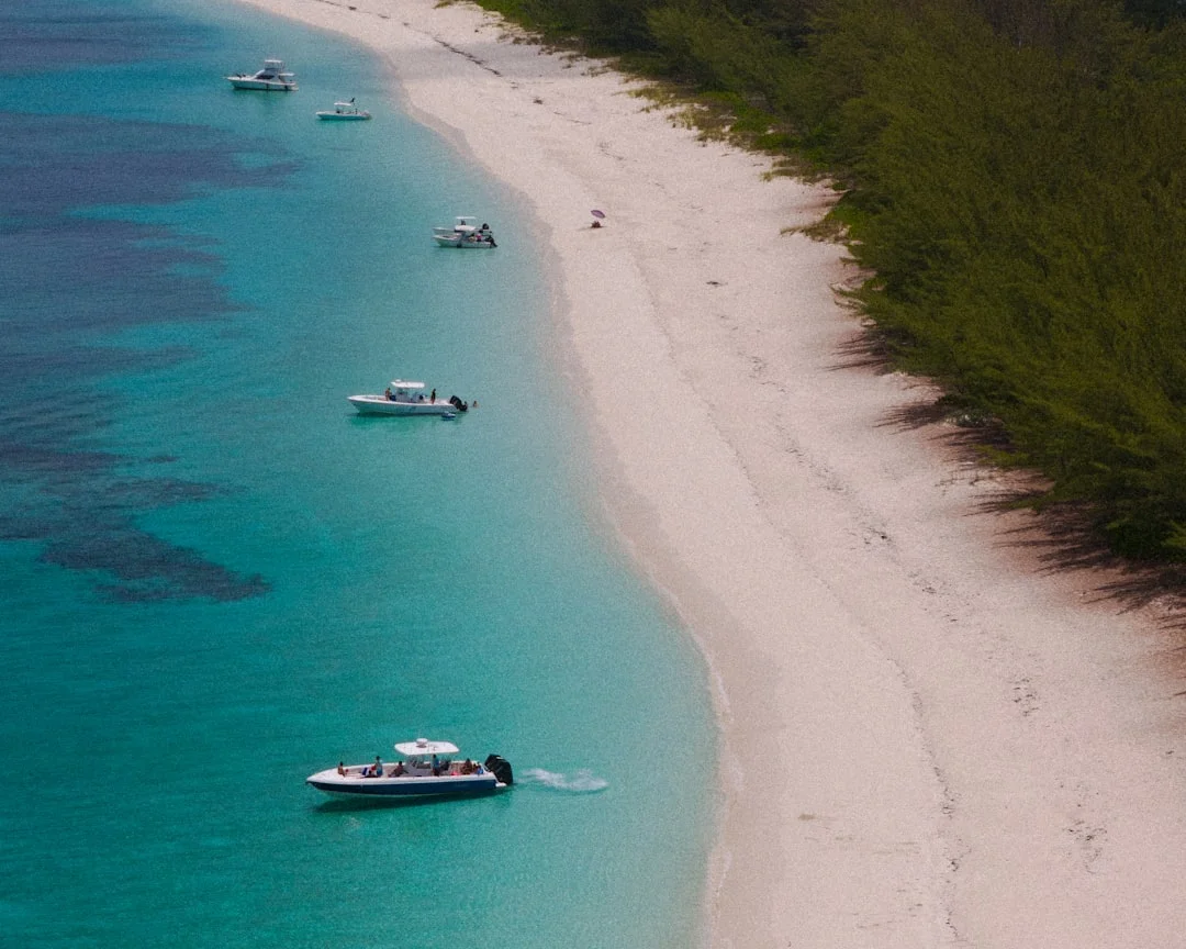
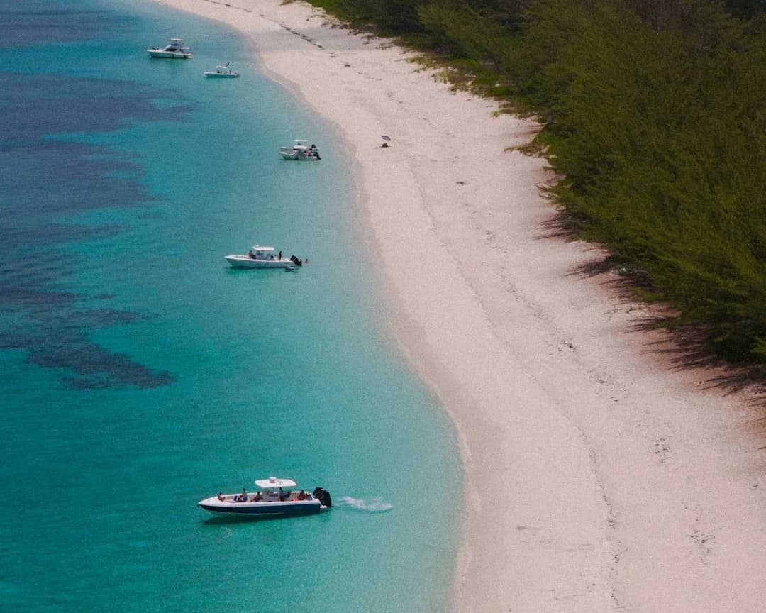
Photo by Satchymo Photos on Unsplash
The Main Crossing Routes
There are four common routes from Florida to the Bahamas, each with different distances, difficulty levels, and destinations. Use Breezada's sea distance calculator to check the exact nautical miles for your specific departure and arrival points.
Miami to Bimini — The Classic Short Hop
| Detail | Value |
|---|---|
| Distance | 48 nm (direct), ~53 nm (with Gulf Stream offset) |
| Departure | Miami Beach Marina or Government Cut |
| Arrival | Bimini Harbor, North Bimini |
| Crossing time | 6–8 hours under sail, 3–4 hours motoring |
| Gulf Stream current | 2.5–3.5 knots north |
| Best for | First-time Bahamas crossers, weekend trips |
This is the gateway crossing. Nearly every boat heading to the Bahamas for the first time crosses here. The distance is short enough that you can motor across in half a day if the wind doesn't cooperate, and Bimini has a well-protected harbor with fuel, customs, and cold Kaliks waiting.
The catch: you need to aim roughly 15–20 degrees south of Bimini to compensate for the Gulf Stream pushing you north. Without GPS course correction, boats regularly end up miles north of their target. Plot your waypoints carefully — the Stream is strongest in the middle of the crossing, roughly between the 300-foot and 600-foot depth contours.
Fort Lauderdale to West End, Grand Bahama
| Detail | Value |
|---|---|
| Distance | 56 nm direct |
| Departure | Port Everglades or Hillsboro Inlet |
| Arrival | Old Bahama Bay Marina, West End |
| Crossing time | 7–10 hours under sail, 4–5 hours motoring |
| Gulf Stream current | 2–3 knots north |
| Best for | Boats heading to the Abacos, cruisers wanting a marina |
Slightly longer but you arrive at a proper marina with fuel dock, customs clearance, and a resort. From West End, the Abacos are a comfortable day sail east along the Little Bahama Bank — shallow, protected water the whole way.
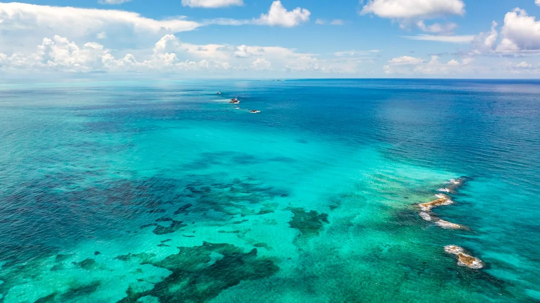
Photo by Ricky Beron on Unsplash
Lake Worth (Palm Beach) to Memory Rock / Abacos
| Detail | Value |
|---|---|
| Distance | 63 nm to Memory Rock, then ~25 nm to Green Turtle Cay |
| Departure | Lake Worth Inlet, Palm Beach |
| Arrival | Memory Rock, then Abacos |
| Crossing time | 8–12 hours to Memory Rock |
| Gulf Stream current | 2–3 knots, but crossing is more diagonal |
| Best for | Experienced cruisers heading directly to the Abacos |
This route skips Bimini and Grand Bahama entirely, putting you on the Little Bahama Bank near Memory Rock. From there, it's a straightforward sail southeast to the Abacos — Treasure Cay, Green Turtle Cay, Man-O-War Cay, Marsh Harbour. The crossing is longer and more exposed, so it's better suited to boats over 35 feet with experienced crew.
Miami to Nassau / Berry Islands
| Detail | Value |
|---|---|
| Distance | ~130 nm to Nassau, ~100 nm to Great Harbour Cay (Berries) |
| Departure | Government Cut, Miami |
| Arrival | Nassau Harbor or Berry Islands |
| Crossing time | 18–24 hours (overnight passage) |
| Best for | Larger boats, experienced crews comfortable with night sailing |
This is an overnight passage, not a day hop. If you're comfortable with overnight sailing, you might also consider an Atlantic crossing — the trade wind route takes 14-21 days. You cross the Gulf Stream and then the Great Bahama Bank — miles of shallow (10–15 feet) crystal-clear water where you can see the bottom at night with a good searchlight. Some sailors love it. Others find the Bank crossing tedious in light air. Nassau itself is a proper city with every provisioning need you might have.
The Gulf Stream: What You Need to Know
The Gulf Stream is the single most important factor in this crossing. It's not optional information — it's survival-critical.
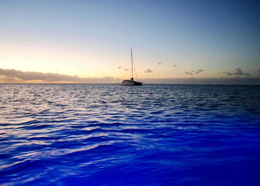
Photo by Alix Greenman on Unsplash
Speed and Direction
The Stream flows north at 2–4 knots through the Florida Straits. The strongest current runs roughly along the 600-foot depth contour, about 15–20 miles offshore from Miami. West of the Stream, the water is green. In the Stream, it turns deep indigo blue. You'll know when you're in it.
At 3 knots of current and a boat speed of 6 knots, the Stream pushes you roughly 0.5 nm north for every 1 nm east you travel. On a 48 nm crossing to Bimini, that's about 12 nm of northward drift if you don't correct your course. This is why you aim south.
The Critical Weather Rule
Never cross the Gulf Stream with a north wind over 15 knots. This is not a guideline — it's the closest thing to an absolute rule in coastal sailing. When wind opposes current (north wind against northbound Stream), the seas stack up into short, steep, breaking waves that can be dangerous even for large boats. Sailors call it "rage" or "square waves."
A benign 15-knot northerly on the Florida coast becomes a 4–6 foot confused sea in the Stream with 4-second wave periods. That's washing-machine territory. At 20+ knots from the north, the Stream becomes genuinely dangerous.
The ideal crossing weather: south or southeast wind, 10–15 knots, seas under 3 feet. This gives you a beam reach across the Stream with the wind and current working together to flatten the waves.
When to Cross
- Best months: November to May (dry season, more stable weather patterns)
- Best day of the week: After a cold front passes — the wind clocks to the south/southeast, skies clear, and you typically get 2–3 days of settled weather
- Best time to leave: Dawn. You arrive in daylight and have time to clear customs
- Worst conditions: June–November (hurricane season), cold front approaches (strong northerlies)
Check the NOAA marine forecast for the Gulf Stream (zones AMZ610 and AMZ631) at least 48 hours before crossing. If the forecast says "Gulf Stream hazards," stay in port. For a deeper look at forecasting tools and GRIB viewers that help you read wind and wave data before crossing, see our guide to sailing weather apps.
Preparation and Customs
Required Documents
The Bahamas requires:
- Valid passport for all crew (US citizens can also use a passport card for air return, but boats need full passports)
- Customs and immigration forms — available at the port of entry or online via the Bahamas Customs portal
- Cruising permit: $150 for boats up to 35 feet, $300 for boats over 35 feet (valid for one year)
- Fishing permit: $20 per person if you plan to fish
- Yellow quarantine flag: fly it until you've cleared customs; then switch to the Bahamas courtesy flag
Provisioning
Stock up in Florida — everything in the Bahamas is imported and costs 30–50% more than stateside. Fill your fuel tanks (diesel is $6–8/gallon in the Bahamas vs. $3.50–4.50 in Florida). Buy all the fresh produce and meat you'll need for the first week.
Water: some marinas have water; many anchorages don't. If you don't have a watermaker, carry extra jerry cans.
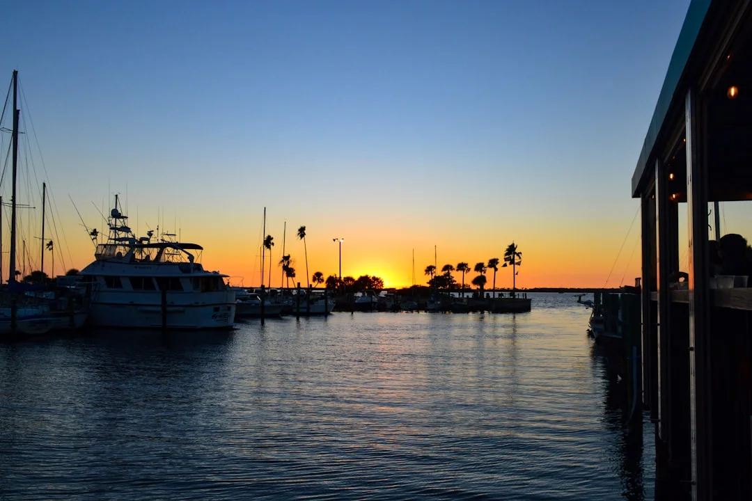
Photo by Annie Gavin on Unsplash
Boat Preparation
- Check your bottom paint: Bahamas waters are warm and growth is aggressive. A clean bottom matters for speed and fuel efficiency
- Ensure your anchor gear is ready: you'll be anchoring 90% of the time. A 45-lb CQR or Mantus for a 35–40 foot boat, with 200+ feet of chain
- Carry a handheld VHF backup: cell service disappears quickly
- Snorkeling gear: the water is too clear not to have it
- Charts: Navionics or Explorer Charts for the Bahamas. The Explorer Chartbook (paper) is still the gold standard — many coral heads and shallow banks are not on electronic charts
Use Breezada's distance calculator to plan your daily legs between anchorages once you're in the Bahamas — most hops are 15–30 nm between stops.
What It Costs
Here's a realistic budget breakdown for a two-week Bahamas cruise from Florida on your own 35–42 foot sailboat:
| Expense | Cost |
|---|---|
| Cruising permit | $150–$300 |
| Fishing permit | $20/person |
| Fuel (Florida fill-up + Bahamas top-offs) | $400–$800 |
| Provisioning (2 weeks, 2–4 people) | $600–$1,200 |
| Marina nights (maybe 3–4 nights at $3–5/ft) | $400–$800 |
| Customs/immigration fees | $50–$100 |
| Dining out | $200–$500 |
| Miscellaneous (water, ice, laundry, parts) | $200–$400 |
| Total | $2,000–$4,100 |
The biggest variable is how often you stay in marinas versus anchor out. The Bahamas are an anchoring paradise — you can spend entire weeks swinging on the hook in gorgeous bays with no marina fees at all.
Best Anchorages and Stops
Photo by Lockhart KEYS on Unsplash
Bimini
Your first taste of the Bahamas. The harbor is small but friendly. Walk to the beach on the western shore — the sand is powder white and the water is absurd. Fuel up, clear customs, eat conch fritters at Stuart's Conch Stand.
Berry Islands — Great Harbour Cay
One of the most underrated stops. Stunning beaches, a quiet marina, and almost no crowds. The anchorage at Bullocks Harbour is calm and well-protected. Perfect for a few nights of decompression after the crossing.
Exumas — Warderick Wells to Staniel Cay
The crown jewels. Warderick Wells (Exuma Cays Land and Sea Park headquarters) has mooring balls in water so clear it looks fake — 25 feet deep and you can read the serial number on your anchor. Staniel Cay has the famous swimming pigs, Thunderball Grotto, and a proper yacht club with a bar that closes when the last person leaves.
The Exuma chain from Highborne Cay to George Town covers roughly 120 nm — check the distances between islands to plan your daily hops. Most sailors spend 2–4 weeks working their way south to George Town.
Nassau and Paradise Island
Love it or skip it. Nassau has the best provisioning in the Bahamas (think Costco-level supply runs), fuel docks, marine chandleries, and airport access if crew need to fly in or out. But the harbor is crowded, the holding is mediocre, and the cruise ship traffic is constant.
George Town, Great Exuma
The ultimate cruiser gathering spot. Every winter, hundreds of boats converge here for the social scene, the protected anchorage in Elizabeth Harbour, and the jumping-off point for the southern Bahamas or Caribbean.
Frequently Asked Questions
Do I need a captain's license to sail to the Bahamas?
No. The Bahamas does not require a captain's license for recreational boats. However, you need to be a competent sailor — the Gulf Stream crossing is real ocean sailing, not a harbor cruise. If it's your first offshore passage, consider hiring a delivery captain for the crossing or joining a Bahamas flotilla group.
How long should I plan for a Bahamas sailing trip?
Minimum two weeks to do the crossing, enjoy a few stops, and return. Three to four weeks is ideal for reaching the Exumas. Many cruisers spend entire winters (November through April) in the Bahamas, slowly working south through the island chain. If the Bahamas hook you, the wider Caribbean sailing destinations are your next step — the BVI and Grenadines are a short hop south.
Can I take a catamaran across the Gulf Stream?
Absolutely — catamarans are popular for Bahamas cruising because of the shallow draft (perfect for the Banks) and spacious living area. The Gulf Stream crossing is the same for cats and monohulls: respect the weather window, compensate for current set, and don't cross in northerlies.
What's the best time of year to sail to the Bahamas?
November through April. The weather is settled, temperatures are in the 70s–80s°F, and you're outside hurricane season. December and January can bring occasional cold fronts with strong northerlies — just wait them out. February and March are typically the most settled months.
Is the Bahamas safe for cruising sailors?
Yes. The Bahamas is one of the safest cruising grounds in the Caribbean. The main risks are weather-related (Gulf Stream, squalls, coral reef navigation) rather than security-related. Use common sense: lock your dinghy, don't flash expensive electronics in Nassau, and don't anchor alone in isolated spots at night. The cruising community in the Bahamas is large and well-connected via VHF nets.
About the Author
Related Articles

Sailing the Canary Islands: Inter-Island Routes & Tips
The Canary Islands offer year-round Atlantic sailing across seven volcanic islands. This guide covers inter-island routes, distances, wind conditions, marinas, anchorages, and a practical two-week itinerary.
By Breezada Team

Seasickness Remedies for Sailing: What Works, Timing
Learn evidence-based seasickness remedies for sailing—meds, patches, bands, food, and habits—with dosing/timing and watchstander safety tips. Plan your kit now.
By Breezada Team

Spring Commissioning Boat Checklist: Get Ready to Sail
Spring commissioning takes 15-25 hours and covers hull, engine, plumbing, rigging, electronics, and safety gear. This practical boat checklist walks through each system in the order that matters in a yard, with realistic time and cost estimates for a 32-40 foot sailboat.
By Breezada Team

How to Dock a Sailboat: Med Mooring & Stern-to
Read the guide now and start planning your next sailing adventure today.
By Breezada Team