
Learn the correct DSC distress call sequence, MMSI setup, and when to use AIS, EPIRB or PLB. Get it right—read the guide and drill it.
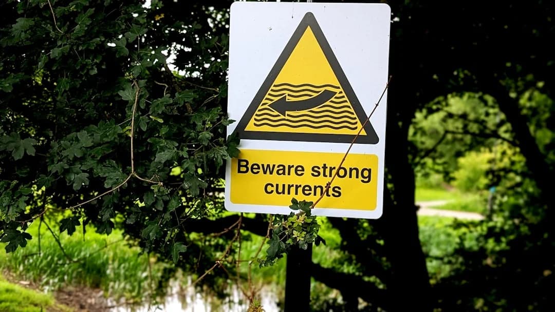
Learn sailing in strong currents with tide tools, rules of thumb, and real examples. Plan safer passages—read the guide and use the checklists.
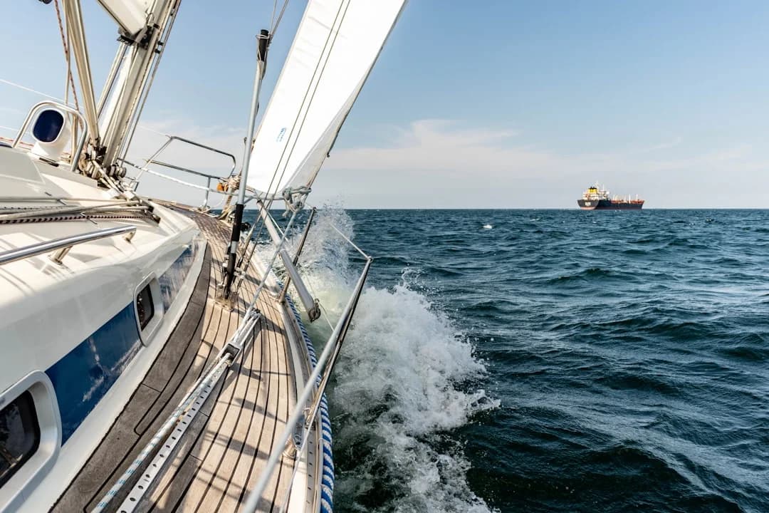
Learn NAVTEX & SafetyNET (Inmarsat-C) setup, filters, and what MSI to trust offshore. Get clearer forecasts—read the guide now.
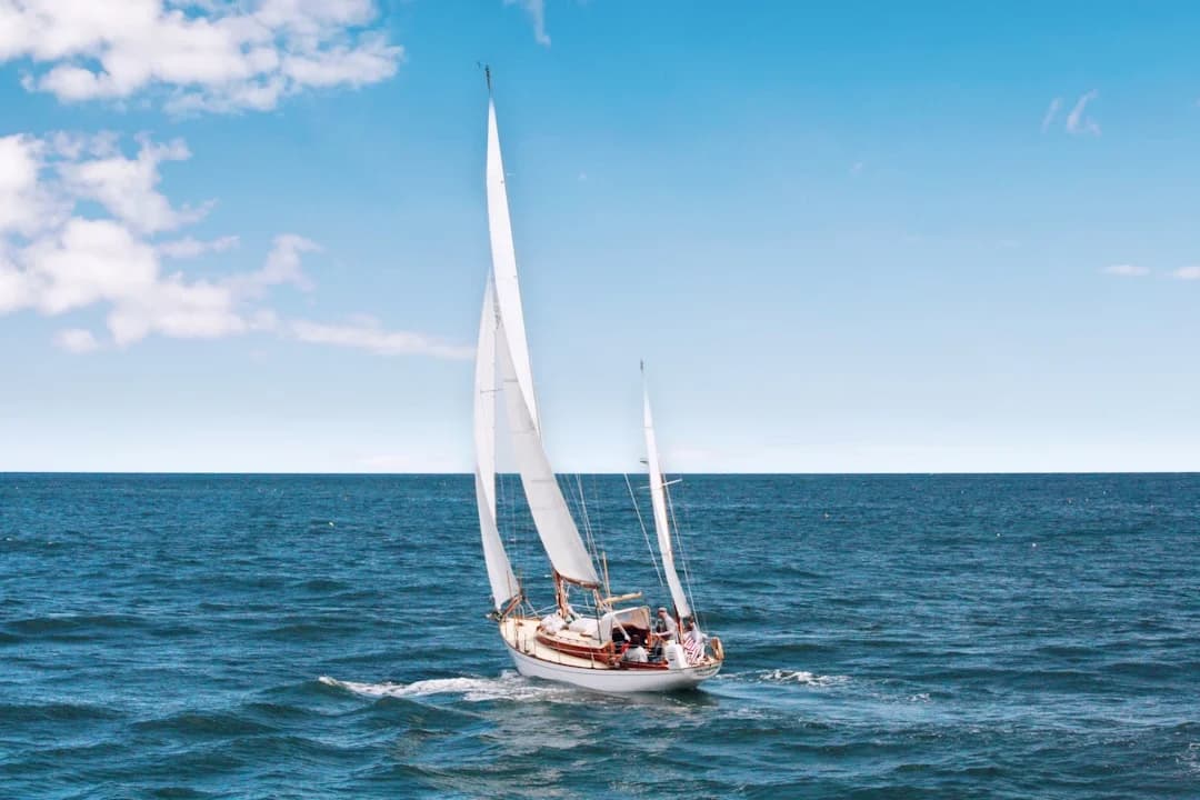
Learn sailboat hull speed, the 1.34×√LWL formula, and when boats can exceed it. Get examples and tips—read now and calculate yours.

Learn sailing right of way rules with simple COLREGs scenarios—tack, overtaking, crossing, lights, and priority exceptions. Read & use the cheat sheet.

Read the guide and start sailing smarter today. Explore key tips, gear, and routes—click to learn more.
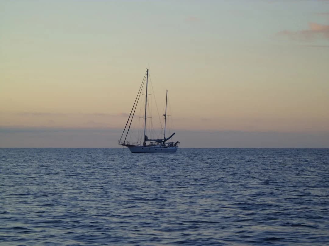
A complete guide to crossing the Pacific by sailboat — the three main routes, cyclone-season timing, boat and gear requirements, realistic costs, and what 21 days at sea actually looks like.
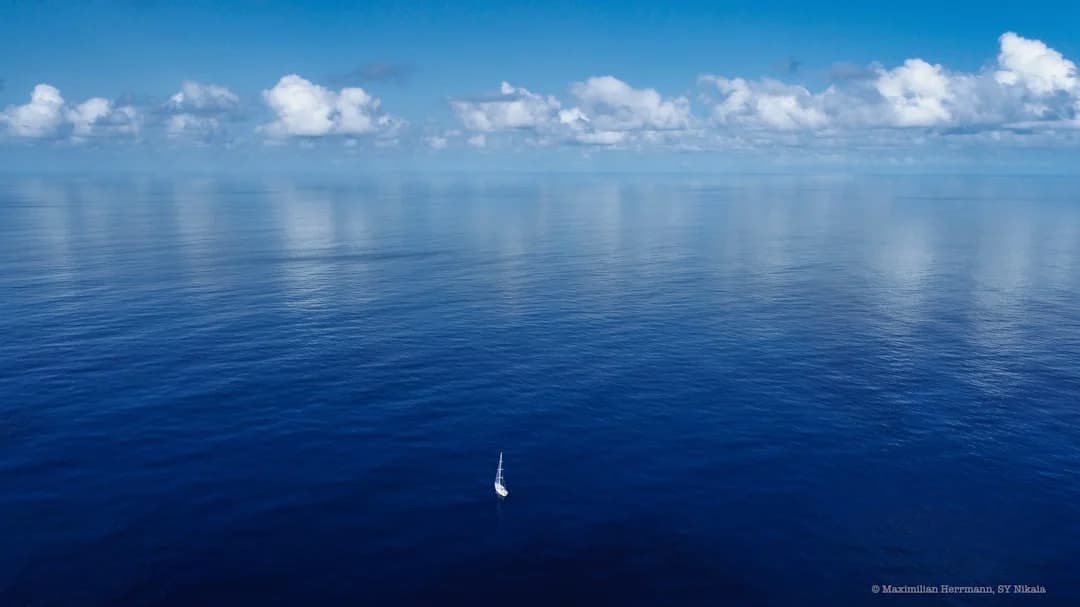
A working sailor's guide to sailing around the world — the classic tradewind route, real costs by year, the three-to-five year timeline, and the practical preparation that actually matters before you leave.
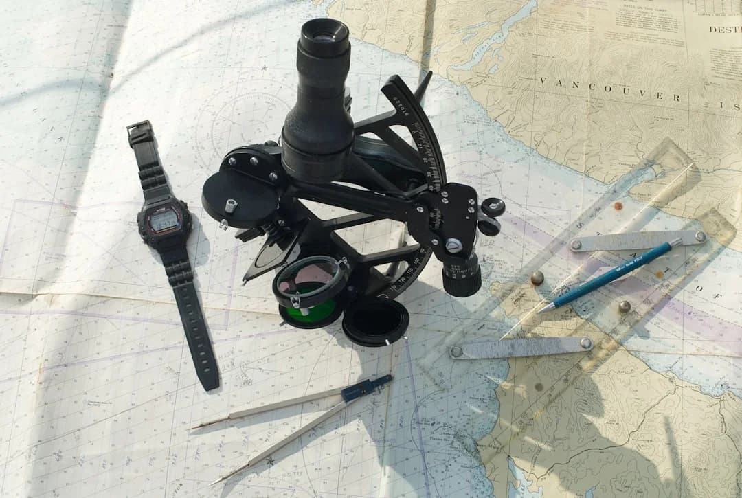
A working sailor's guide to sextant navigation — what the instrument actually measures, how to take a clean sight from a moving deck, the noon sun shortcut, star rounds at twilight, and what kit and practice you need to fix your position to within 2-3 nautical miles without GPS.
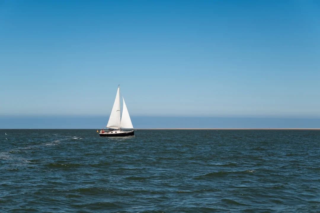
A practical, expert-level guide to crossing the Tasman Sea by sailboat — distances, weather windows, departure ports, customs, costs, and what the passage actually feels like.
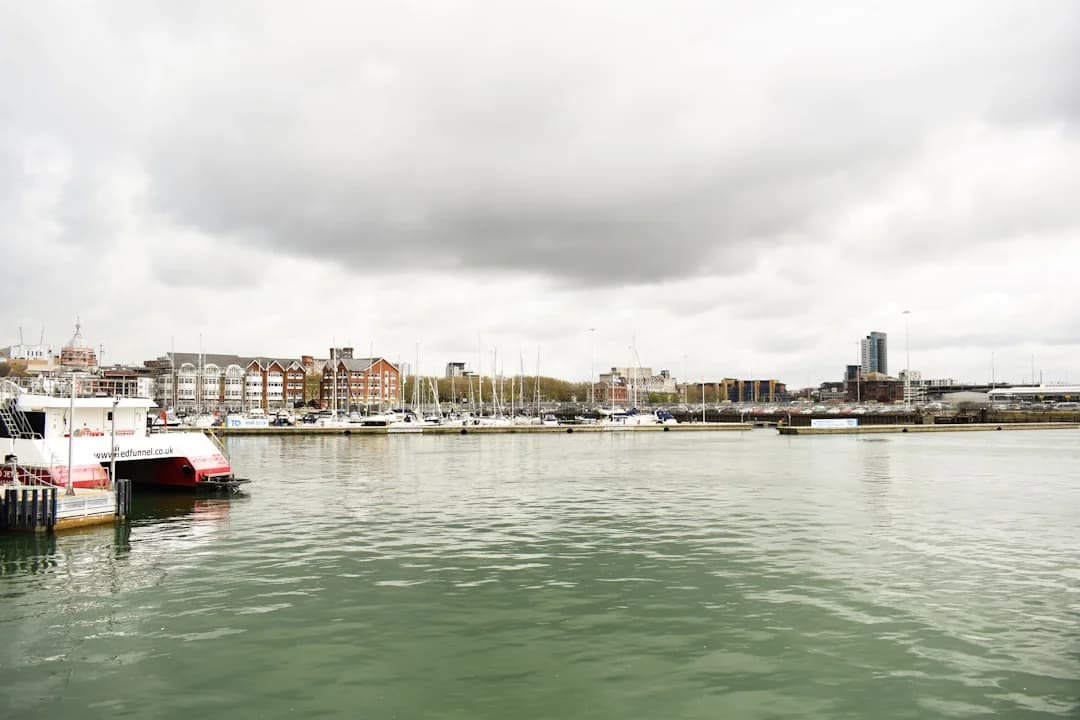
The shortest Channel crossing from Southampton to Cherbourg is 75 nautical miles, a 12-15 hour passage for most cruising yachts. A practical guide to tides, traffic separation, weather windows, customs, and what the crossing actually feels like at 03:00 in mid-Channel.
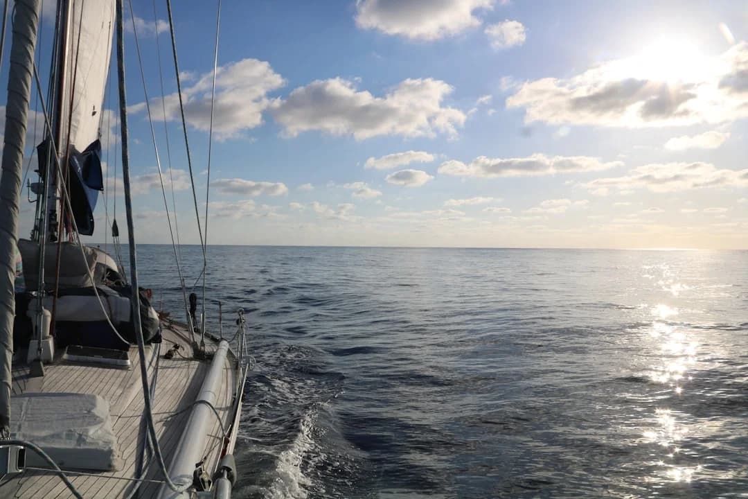
The 1,820 nm passage from Bermuda to the Azores takes most cruising boats 14 to 18 days. Here is the route, the timing, and what really happens on the mid-Atlantic leg.
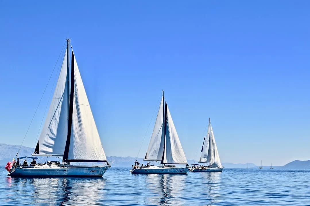
The 130-nautical-mile run from Phuket to Langkawi is one of Asia's best-known cruising routes — three to five days down the Andaman Sea, with limestone karst islands, sheltered anchorages, and straightforward formalities at both ends.
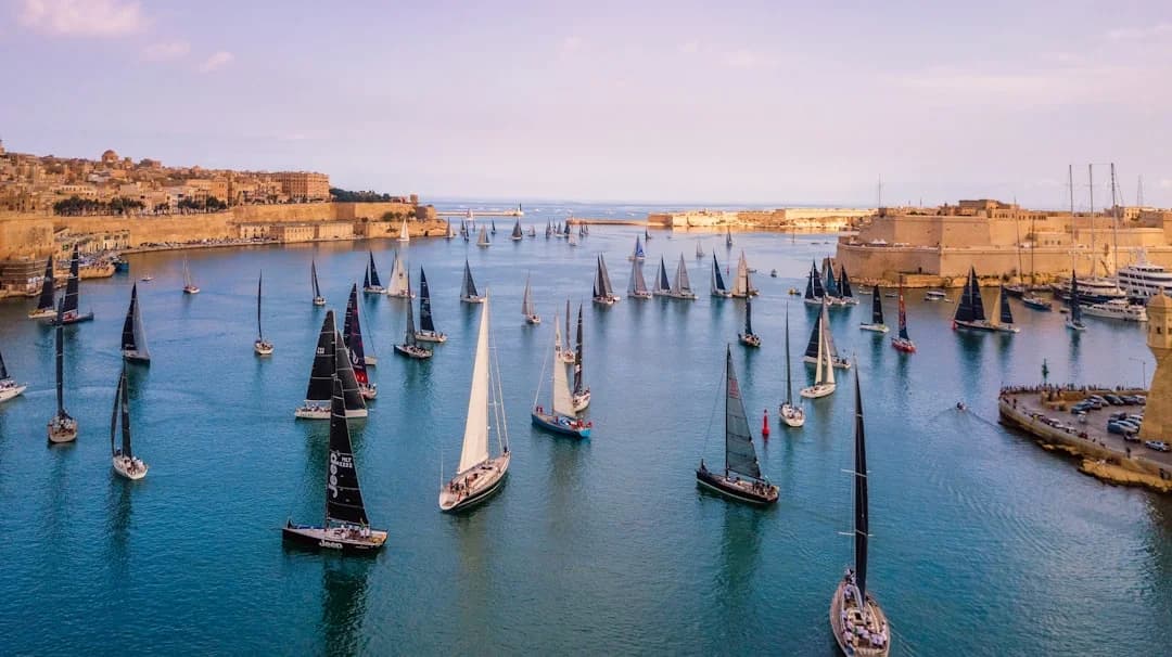
The shortest Sicily-Malta hop is just 55 nm from Pozzallo to Valletta. A practical passage guide covering departure ports, weather windows, the Sicily Channel shipping lanes, marina options, and what to expect arriving at Grand Harbour.
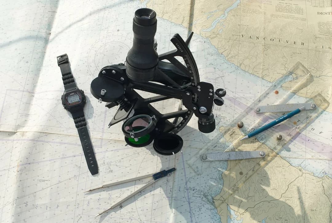
How to read nautical charts: depth soundings, IALA buoyage, cardinal marks, hazard symbols, tidal data, and electronic vs paper charts. The navigation skill every sailor needs.
The Panama-to-Colombia sailing route via the San Blas Islands covers 120-200 nautical miles through one of the Caribbean's last unspoiled archipelagos. Here's what you need to know about the passage, the islands, and the open-water crossing to Cartagena.
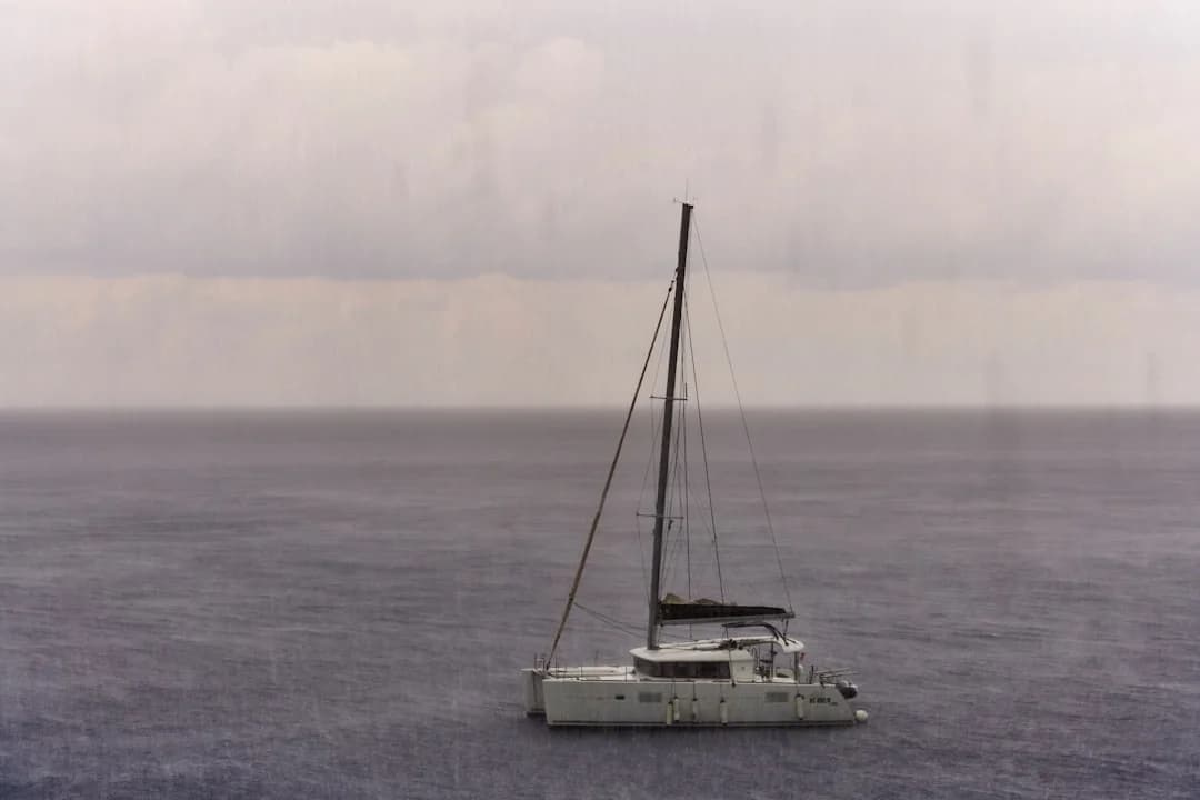
A working sailor's breakdown of the weather apps, GRIB viewers, and forecasting tools that actually matter for passage planning. Covers Predictwind, Windy, PocketGrib, and more with honest takes on what each does well and where it falls short.
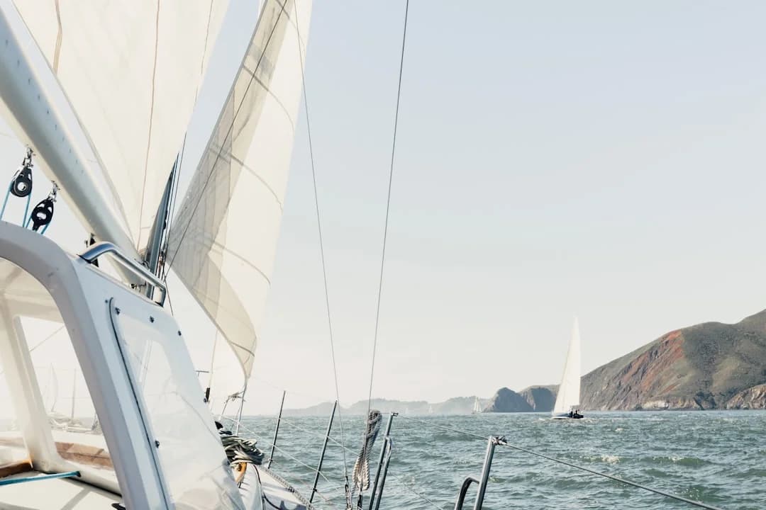
The best sailing routes share reliable trade winds, warm water, and protected anchorages within a day's sail of each other. This guide covers the Atlantic circuit, Mediterranean cruising, Caribbean trade-wind sailing, Pacific crossings, and more — with distances, seasonal timing, and practical planning advice.
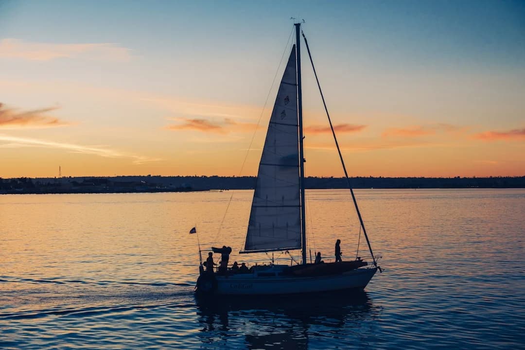
Compare Navionics, Savvy Navvy, PredictWind & Windy for coastal cruising—charts, routing, AIS, offline use, and costs. Choose your stack now.
The passage from Gibraltar to the Canary Islands covers 750 to 850 nautical miles through the Portuguese Trades. This guide covers route options, weather windows, Strait of Gibraltar tactics, and arrival ports across the islands.
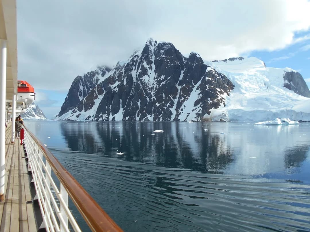
The Drake Passage — 500 nautical miles of the planet's most feared open water — stands between Ushuaia and Antarctica. This guide covers route planning, weather windows, vessel requirements, expedition costs, and a day-by-day breakdown of what the crossing is really like.
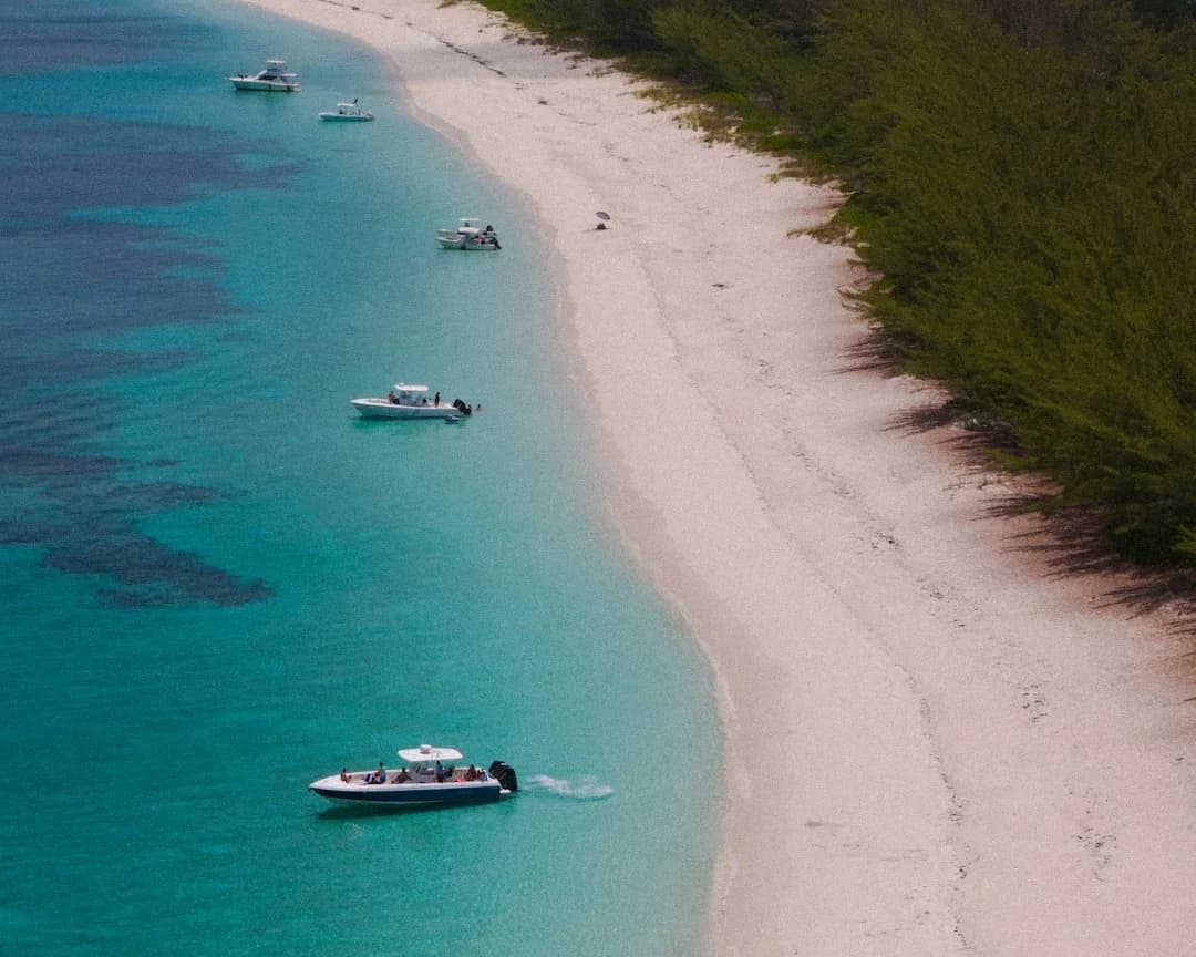
Everything you need to cross from Florida to the Bahamas by sailboat. Four routes from 48-130 nm, Gulf Stream tactics, customs requirements, costs ($2,000-4,100 for two weeks), and the best anchorages from Bimini to the Exumas.
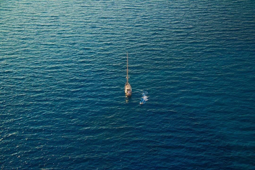
A realistic breakdown of Atlantic crossing times by route, season, and boat type. The trade wind route takes 14-21 days, the northern passage via Azores 18-28 days. Includes provisioning, daily routines, and what it costs.