
GMDSS & DSC Distress Calls: AIS, EPIRB, PLB Use
A DSC distress call is the fastest way to shout “we’re in real trouble” to every DSC radio within VHF range—without hoping someone happens to be listening to Channel 16 at that moment. The catch is that DSC only does its job when your MMSI (9 digits) is correct and your VHF actually has a live GNSS position + UTC time feed, otherwise it may transmit “NO POSITION” and you’ve just made rescuers play Battleship.
What follows is the real-world sequence that works under stress, plus how to layer AIS MOB, EPIRB, and PLB so you get both local response (boats near you) and beyond-horizon response (satellites and SAR assets). This is GMDSS thinking for cruisers—without pretending your 38-footer is a SOLAS ship.

Photo by Hassan OUAJBIR on Unsplash
How a DSC Distress Call Works (Channel 70 + What It Sends)
VHF Channel 70: Digital-only distress signaling
A VHF DSC distress call is sent on Channel 70 (156.525 MHz), and that channel is digital-only—no voice, no yelling, no improvisation. When you press and hold the red DISTRESS button, the radio transmits a short digital burst designed to be received by any Class D DSC set in range, plus shore stations, then it expects everyone to shift to voice on Channel 16 (156.800 MHz) for coordination.
DSC exists because voice watchkeeping is imperfect, especially at 0300 when half the fleet is asleep and the other half has their squelch turned up to “ignore the ocean.” On a properly configured system, the alarm on other boats is loud, annoying, and hard to ignore—exactly what you want when the alternative is a quiet sinking.
What’s inside the DSC distress alert payload
Per ITU-R M.493 framing (the technical backbone), a standard distress alert carries a minimum set of “who and where.” The “who” is your MMSI (9 digits), which identifies the vessel or station, and the “where” is your position (lat/long) and UTC time—if your radio is fed valid GNSS. Most fixed-mount sets meeting IEC 62238 (Class D) will transmit position automatically when they’re getting it, and will transmit “no position” when they aren’t.
When position is missing, SAR still gets an alert, but you’ve traded a precise point for a question mark. In busy coastal water, someone may still home in quickly by voice on 16. Offshore, “no position” is how you turn minutes into hours, and hours into a story nobody wants to read about.
Nature of Distress categories and when they matter
Many radios let you select a Nature of Distress code before sending: fire/explosion, flooding, collision, grounding, listing, sinking, disabled/adrift, piracy/armed robbery, and sometimes man overboard (implementation varies). If you know the category, select it—it helps shore stations triage, and it helps nearby vessels decide what they can realistically do.
If you don’t know or the menu is too slow, send “undesignated” and clarify immediately by voice on 16. A perfect digital message followed by silence is still a bad day for everyone, and it’s a surprisingly common failure mode.
Correct Sequence: DSC Alert → Voice MAYDAY → Updates
The 60-second workflow after pressing DISTRESS
The biggest training gap I see is this: people press the red button and then… wait. Don’t. Your radio has sent a digital alarm on Ch 70 (156.525 MHz), but the working channel is still Ch 16 (156.800 MHz), and that’s where you turn an alert into a rescue.
A crew-drillable sequence looks like this: (1) Send DSC distress (hold red button per your radio’s 3–5 second requirement). (2) Immediately switch or confirm you’re monitoring Ch 16. (3) Transmit the voice MAYDAY on high power (up to 25 W fixed-mount) unless you’re in very close quarters where you’ll just clobber everyone’s receiver front ends. (4) Assign one person to keep listening and one person to handle boat actions, because doing both badly is worse than doing one well.
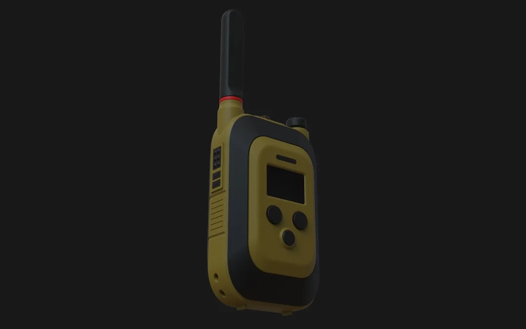
Photo by Kedibone Isaac Makhumisane on Unsplash
Voice MAYDAY script that matches your DSC alert
Your voice call should match the digital alert and fill in what DSC doesn’t carry well: intentions, people, and immediate hazards. Use a script and read it; stress makes smart sailors sound like they’ve never met a microphone.
Voice MAYDAY structure (Ch 16):
“MAYDAY, MAYDAY, MAYDAY. This is [vessel name], [vessel name], [vessel name]. Callsign [callsign], MMSI [9 digits].
MAYDAY [vessel name]. Position [lat/long], [UTC time basis—GNSS/UTC].
Nature of distress [flooding/fire/collision/etc.]. Assistance required [pumps/evac/medical/tow].
Persons on board [number], injuries [if any].
Intentions [staying with vessel / preparing to abandon]. EPIRB/PLB activated [yes/no]. Over.”
If your DSC went out with NO POSITION, say so plainly and give the best position you have: last plotter fix, paper chart DR, or even a bearing/range off a known mark. Then, if your set allows it, manually enter position and time so subsequent DSC messages contain it.
If there’s no acknowledgement: repeat logic and escalation
In an ideal world, a coast station acknowledges quickly and you move to traffic handling. In the real world, you may get nothing for 1–3 minutes because you’re behind a headland, your antenna feed is compromised, or the nearest listening station is farther than you think.
If there’s no DSC acknowledgement, repeat the DSC distress and repeat the voice MAYDAY at sensible intervals, keeping transmissions short so you can listen. If you are offshore or the situation is life-threatening, this is when you activate the 406 MHz EPIRB/PLB in parallel. VHF/DSC is line-of-sight; satellites are not, and your job is to open as many doors as possible.
For passage planning, estimate your likely VHF reach against shore stations and shipping lanes. Plan your route using a sea distance calculator to check how far you’ll be from likely rescue resources, and it keeps your “we’ll be fine” optimism tied to actual miles.
Tip (captain’s version): A distress call isn’t one button. It’s a sequence: DSC alert, voice MAYDAY, then short updates. Practice until it takes under 60 seconds.
DSC VHF Setup: MMSI, GNSS Feed, and Wiring Checks
MMSI programming: one chance to get it right
Your MMSI is the identity that makes DSC work, and it’s 9 digits you can’t afford to fat-finger. Many radios allow only 1–2 user resets before they require factory service, which is a pricey way to learn attention to detail. Don’t program a placeholder, don’t borrow a friend’s, and don’t leave it blank “until later.”
In the U.S., MMSI assignment depends on where and how you operate, and your VHF use sits under FCC Part 80 (47 CFR) rules. Even if you’re not chasing paperwork perfection, your distress system must identify you reliably when it matters.
Getting GNSS position into the radio (NMEA 0183 vs NMEA 2000)
A DSC distress call that includes position requires a GNSS feed—either internal GNSS (some radios and handhelds have it) or an external feed from your GPS/plotter. On NMEA 0183, most VHFs want standard position/time sentences like RMC and/or GGA. On NMEA 2000, the radio listens for GNSS PGNs delivered across the backbone, assuming it’s actually connected correctly and not merely “nearby.”
Before leaving the dock, verify the radio display shows a valid lat/long and UTC time, and that it updates. Don’t accept “it worked last season” as proof; a loose NMEA pair or a corroded backbone tee can quietly revert your distress alert to NO POSITION.
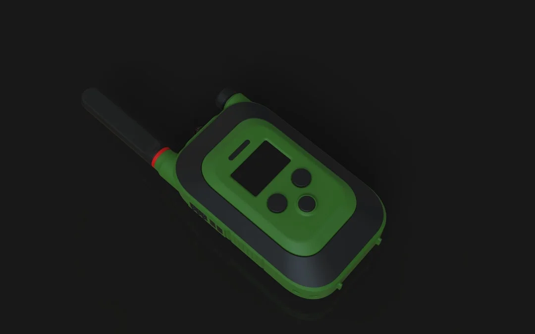
Photo by Kedibone Isaac Makhumisane on Unsplash
A practical check is simple: turn on GNSS source, turn on VHF, wait 60–120 seconds, then confirm the position/time fields populate. If they don’t, fix it now, not when the bilge alarm is screaming.
Installation quality: power, grounding, and fail-safe behavior
A distress call is an electrical event as much as a radio event. Follow ABYC E-11 practices: a dedicated feed, correct conductor sizing, and proper overcurrent protection close to the source. I like a dedicated fuse or breaker sized per manufacturer spec, not “whatever was in the drawer,” and I want the VHF on a supply that survives battery switching and common charging weirdness.
If you run lithium systems, review your comms power behavior during BMS events; ABYC guidance like E-13 and A-31 (chargers/inverters) matters because radios that reboot during a voltage dip are not “marine-grade,” they’re “optimistic.” Keep voltage drop low, keep connections clean, and make sure the mic cord isn’t the only thing holding the set in the bracket.
Finally, do a real DSC function test where permitted: a routine call to a buddy’s MMSI is far more meaningful than staring at menus. The goal is not theoretical compliance with IEC 62238; it’s making sure the system actually transmits and receives under your conditions.
VHF Range Reality: Antennas, Coax Loss, and Sea Areas
Antenna height math you can do onboard
VHF is line-of-sight, and height wins more battles than transmitter power. The rule-of-thumb radio horizon formula is:
Range (NM) ≈ 1.23 × (√h1 + √h2), with heights in feet.
Run the numbers: a 50 ft masthead antenna talking to a 15 ft Coast Guard antenna is roughly 1.23 × (√50 + √15) ≈ 13.4 NM. That’s not a typo, and it explains why people offshore who “have a 25-watt radio” still can’t raise anyone. Power helps, but it doesn’t bend the earth.
A handheld in the cockpit is worse because your antenna height might be 5–6 ft above sea level, and your body is an excellent RF sponge. That’s why a handheld at 5–6 W is a great tool, but it’s not a substitute for a well-installed masthead system when you need reach.
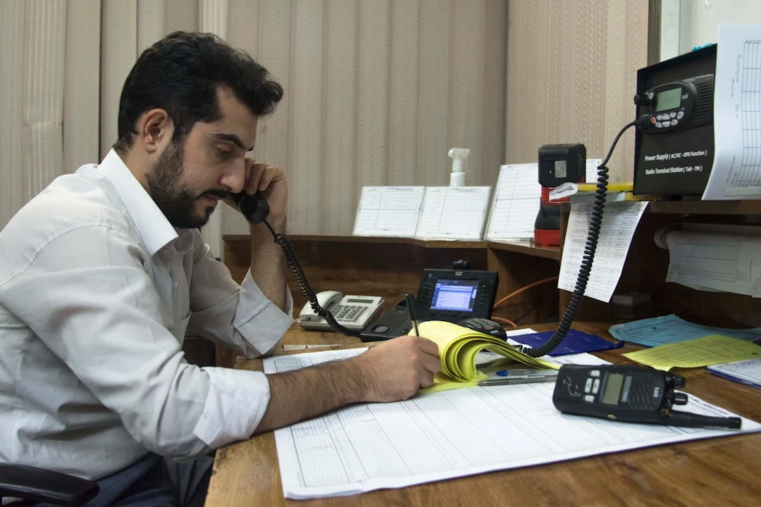
Photo by Javad Esmaeili on Unsplash
Coax choices on mast runs and why losses matter
Marine VHF uses 50-ohm coax, and mast runs are long enough that cable loss is not theoretical. Two common choices are RG-8X (~0.242 in OD) and LMR-400 (~0.405 in OD), with LMR-400 typically offering materially lower loss—at the cost of stiffness, connector fussiness, and sometimes colorful language during the pull.
On a 50–70 ft mast run, cheap coax plus mediocre connectors can erase the benefit of a 6 dB (8 ft) antenna. Corrosion in a PL-259, water intrusion, or a lazy crimp can turn your “good range” into “we can hear them but they can’t hear us,” which is the most frustrating failure mode in radio.
GMDSS sea areas A1–A3 as a cruiser planning lens
Cruisers aren’t required to carry full SOLAS GMDSS gear, but the sea areas concept is still useful. Think A1 as VHF DSC coastal coverage, A2 as MF DSC coverage beyond that, and A3 as areas served by satellite services like Inmarsat (conceptually, per SOLAS IV).
Use that lens to decide what your primary distress layer is on a given route. If your plan puts you 30–120 NM from help for long stretches, DSC becomes a local tool, not your main alerting path. Check the nautical miles for your planned offshore legs and compare them to your realistic VHF horizon, not your hopes.
AIS for Emergencies: AIS MOB vs AIS-SART vs Radar SART
What an AIS MOB beacon transmits and how it displays
AIS is immediate and local, which is exactly what you need for man overboard recovery. AIS uses AIS1 161.975 MHz and AIS2 162.025 MHz, and an AIS MOB beacon transmits position bursts that most plotters and AIS receivers will display as a target quickly. On many systems you’ll get an audible MOB alarm and a target you can steer to, assuming your filters aren’t hiding it.
The hard lesson: AIS doesn’t replace the classic MOB drill. You still shout, point, throw flotation, hit MOB on the plotter, and maneuver. The beacon is a tool that reduces the search radius, especially at night or in whitecaps, but it won’t stop the boat from sailing away while everyone argues about symbols.
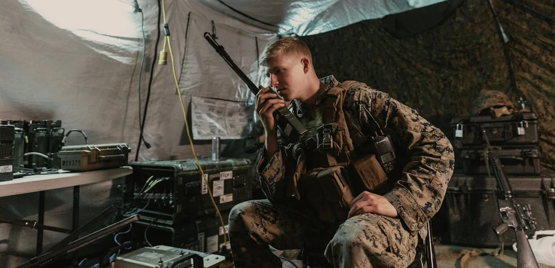
Photo by Joel Rivera-Camacho on Unsplash
AIS-SART vs Radar SART: receiver compatibility and use-cases
An AIS-SART is built for search-and-rescue signaling, and it transmits AIS messages intended to show up on AIS receivers, often with a distinct SART icon. A Radar SART, on the other hand, responds to X-band radar (~9 GHz) interrogation and paints a pattern on radar screens—useful even when AIS reception is poor or the rescuing unit is working primarily on radar.
The key is compatibility: an AIS MOB beacon helps your boat (and nearby AIS-equipped vessels) find a person quickly. An AIS-SART helps SAR units and nearby shipping find a survival craft or casualty location on AIS. A radar SART is for radar-equipped rescuers, and it can be excellent in heavy traffic or poor visibility.
Crew response when the MOB alarm triggers
When the AIS MOB alarm goes off, don’t waste time “confirming” while the target drifts. Immediately: (1) Mark MOB on plotter, (2) assign a spotter, (3) begin maneuver, and (4) prepare recovery gear. If the MOB is life-threatening, transmit a voice MAYDAY on Ch 16 (156.800 MHz), and consider a DSC distress (some radios offer MOB as a distress category, but behavior varies).
Also, check your AIS receiver settings before you need them. CPA/TCPA filters, target-class filters, and “sleeping targets” can hide the very beacon you bought for emergencies. I’ve seen boats with good hardware miss MOB targets because someone set target alarms to “reduce nuisance alerts,” which is a classic case of solving the wrong problem.
EPIRB vs PLB Offshore: 406 MHz Alerting + Registration
What 406 MHz beacons do (and what 121.5 MHz is for)
When you’re beyond VHF line-of-sight, the tool that reaches help reliably is a 406 MHz beacon distress alert. EPIRBs and PLBs transmit on 406 MHz to Cospas-Sarsat, and they also transmit a 121.5 MHz homing signal used by nearby SAR units for final approach. That 121.5 is not the global satellite alerting channel anymore; it’s the “come find me precisely” tone once SAR is in the area.
This is a different chain than DSC. DSC is local VHF—fast if someone is listening and within range. 406 is satellite alerting—slower to physically arrive, but far better at reaching the SAR system when you’re out of sight of land and traffic.

Photo by Dmitriy Suponnikov on Unsplash
Registration workflow and why it speeds verification
A beacon without registration is like a distress call from “somebody, somewhere.” In the U.S., registration is free ($0) via NOAA SARSAT, and it links the beacon ID to your vessel description, emergency contacts, and itinerary habits. When SAR gets an alert, they often start by calling your contacts to validate whether it’s likely real, and that can reduce false-alert delays.
Update registration immediately when you change phone numbers, sell the boat, or move the beacon between vessels. I’ve seen real-world delays because the registration still listed a previous owner who answered the phone and said, truthfully, “that’s not my boat.” That’s not a paperwork error; it’s a time leak.
Service intervals that cruisers actually miss
EPIRBs and PLBs look like “fit and forget” safety gear, and that’s how their batteries expire quietly in a locker. Typical EPIRB battery replacement is 5 years (some models 10 years), and HRUs are commonly replaced every 2 years on Category I installations. Those dates come faster than you think, especially if you cruise seasonally and the beacon lives out of sight.
PLBs are great on your person, but most do not float unless you add a flotation pouch, and that pouch is worthless if it’s not actually used. Offshore, my preference is: EPIRB mounted for quick grab (or auto-release) plus PLBs on lifejackets or harnesses. Layered signaling works best when each layer is where your hands can reach it in the dark.
Decision Tree Scenarios: What to Trigger, When, and Why
Fire, flooding, and dismasting: distress communications priorities
Fire and flooding are time-compressed emergencies; dismasting can be slower but still becomes life-threatening when you start drifting onto a lee shore. If you’re within realistic VHF coverage (think 10–20 NM depending on antenna heights), a DSC distress call is an excellent first punch: it wakes up nearby vessels fast and it can get a coast station’s attention.
For fire/explosion or flooding, I send DSC distress → voice MAYDAY immediately, then activate the EPIRB (406 MHz) as soon as it’s clear the situation is not stabilizing in minutes. In real life, “we’ll see if the pump keeps up” is how you end up launching the life raft late, tired, and behind the curve.
For dismasting/disabled/adrift, I’m more willing to start with DSC/voice and reserve the EPIRB for genuine peril. But if you’re drifting toward hazards or you’ve lost comms redundancy, don’t be shy about using the tools you bought.
Man overboard at night: combining AIS MOB, DSC, and voice
MOB at night is where good gear and good habit meet. Activate or confirm the AIS MOB beacon is transmitting, and make sure your plotter/AIS receiver is actually showing the target. If the person is not immediately recoverable or conditions are severe, escalate quickly to voice MAYDAY and consider DSC distress—especially if you need nearby boats to assist with lighting, lookout, or recovery.
A short tailored call helps: “MAYDAY… man overboard… position… drifting… we are maneuvering… request immediate assistance and extra lookout.” Minutes matter, and additional eyes on the water increase odds more than any gadget.
Abandon-ship logic: EPIRB/PLB handling and comms discipline
If you abandon ship, the EPIRB goes with you, activated, and secured to the raft or person so it can’t be dropped. PLBs should already be on bodies, not in grab bags that may or may not get grabbed. Keep a handheld VHF (ideally DSC + GNSS) in the raft if possible, but don’t confuse “nice to have” with the primary: 406 MHz gets SAR moving even when nobody is within VHF range.
Maintain comms discipline: short transmissions, clear updates, and don’t clog 16 with panic monologues. If you’re drifting, provide updates at sensible intervals—often every 10–15 minutes is enough—unless SAR requests more frequent reports.
For offshore planning, build a simple expectation of coverage using the A1/A2/A3 lens and route miles. Estimate passage time and timing windows by first calculating distances between ports so you can precompute distances to landfall options, likely shipping lanes, and where VHF becomes a secondary layer to 406.
Ownership Costs, Testing, and a Cruiser Drill Calendar
Money doesn’t prevent emergencies, but it does prevent expired batteries, missing GNSS feeds, and “I thought it was connected” wiring. Here are realistic cost bands cruisers actually pay, plus the maintenance cadence that keeps the system honest.
| Item | Typical USD cost |
|---|---|
| VHF DSC (Class D) fixed-mount (no AIS) | $150–$400 |
| VHF + integrated AIS receiver | $350–$650 |
| VHF + integrated AIS transceiver | $600–$1,200 |
| Handheld floating VHF with DSC + GNSS | $200–$500 |
| AIS MOB beacon (AIS only) | $200–$400 |
| AIS + DSC MOB beacon | $350–$600 |
| PLB (406 MHz, GPS-enabled) | $280–$450 |
| EPIRB (406 MHz, GPS-enabled) | $450–$1,100 |
| EPIRB HRU replacement | $60–$150 |
| EPIRB battery replacement service | $150–$400 |
| NMEA 2000 starter kit (backbone/tees/terminators) | $120–$350 |
| VHF coax + connectors + mast labor (sailboat mast run) | $150–$800 DIY / $600–$2,000 installed |
| Task / Item | Interval | Next due (write-in) | Notes |
|---|---|---|---|
| EPIRB battery | 5 years (some 10) | ______ | Check label date; schedule service early |
| EPIRB HRU (Category I) | 2 years | ______ | Replace before expiration, not after |
| PLB battery | Per manufacturer (often 5–7 years) | ______ | Also check self-test limits |
| VHF DSC GNSS verification (lat/long + UTC on screen) | Before every passage | ______ | If blank: fix NMEA 0183/2000 feed now |
| AIS MOB self-test | Monthly in season | ______ | Confirm target shows on your plotter |
| Crew distress comms drill (DSC → MAYDAY script) | Quarterly | ______ | Time it; aim for <60 seconds |
| Pre-passage checklist row | Every offshore leg | ______ | MMSI correct, Ch 70 watch enabled, handheld charged |
Standards worth having in mind: ABYC E-11 for reliable wiring, FCC Part 80 for U.S. VHF/DSC operational framing, ITU-R M.493 for DSC procedures, and IEC 62238 for Class D DSC behavior. The goal isn’t to memorize documents; it’s to build a system that works when the boat is loud, wet, and trying to hurt you.
Frequently Asked Questions
If my DSC distress alert went out with “NO POSITION,” how do I manually enter lat/long and UTC on common Class D VHFs, and what fields are actually transmitted after entry?
Most Class D sets allow manual position entry in a “GPS” or “Position” menu, typically requiring lat/long and sometimes a UTC time stamp. The exact button pushes vary by manufacturer (ICOM/Standard Horizon/Garmin), but the concept is consistent: once entered, the next DSC distress alert can include MMSI + position + UTC time, instead of MMSI + no position. Still make the voice MAYDAY immediately on Ch 16 (156.800 MHz) and state your position there, because manual entry is slower and error-prone under stress.
What NMEA 0183 sentences (e.g., RMC vs GGA) does my VHF typically need to populate GNSS position and time, and how do I verify valid data on an NMEA 2000 backbone?
Many VHFs accept RMC (recommended minimum) and/or GGA (fix data) over NMEA 0183 to populate position and UTC time for DSC. On NMEA 2000, verification is practical: the radio should display live lat/long and UTC within 60–120 seconds of power-up, and it should stay stable when other electronics cycle. If it shows blank fields or intermittent position, troubleshoot power, backbone termination, drop cables, and whether the GNSS source is actually transmitting on the network.
How does an AIS MOB target differ on a plotter from an AIS-SART target (message behavior/symbols), and what receiver settings (CPA/TCPA, target filters) commonly hide it?
An AIS MOB beacon usually appears quickly as a nearby AIS target with an MOB-related identifier, and many plotters trigger an alarm and offer “Go To” guidance. An AIS-SART is typically displayed with a dedicated SART icon or label, intended for SAR visibility rather than just crew recovery. MOB targets get hidden most often by CPA/TCPA filters, “show only Class A” filters, sleeping target settings, or alarm suppression meant to reduce nuisance alerts in traffic.
What is the practical DSC/VHF coverage difference between a masthead antenna and a cockpit handheld using Range ≈ 1.23 × (√h1 + √h2), and how does coax loss on long runs change the result?
Using Range (NM) ≈ 1.23 × (√h1 + √h2), a 50 ft masthead antenna to a 15 ft shore antenna yields about 13.4 NM, while a handheld at 6 ft to that same shore antenna is roughly 1.23 × (√6 + √15) ≈ 7.8 NM—before sea state, shielding, or receiver conditions. Coax loss matters because long mast runs with small coax (like RG-8X ~0.242 in OD) and mediocre connectors can reduce effective radiated power and received sensitivity, sometimes negating the advantage of the higher antenna. Height first, then coax quality, then gain and power.
When should I activate both DSC distress and a 406 MHz EPIRB/PLB, and how does beacon registration data (NOAA SARSAT in the U.S.) affect SAR verification and tasking?
If the situation is immediately life-threatening (fire, rapid flooding, abandon ship, severe injury offshore), activating both is sensible: DSC on Ch 70 (156.525 MHz) plus voice MAYDAY on Ch 16 can mobilize nearby vessels fast, while 406 MHz alerts Cospas-Sarsat beyond the horizon. NOAA SARSAT registration (free, $0) gives SAR your vessel description and emergency contacts, speeding verification and reducing delays from suspected false alerts. Keeping registration current is one of the cheapest ways to buy time in a real rescue.
About the Author
Related Articles
Sailing in Strong Currents: Tides, Tools & Examples
Learn sailing in strong currents with tide tools, rules of thumb, and real examples. Plan safer passages—read the guide and use the checklists.
By Breezada Team

NAVTEX for Sailing: SafetyNET Offshore Weather Guide
Learn NAVTEX & SafetyNET (Inmarsat-C) setup, filters, and what MSI to trust offshore. Get clearer forecasts—read the guide now.
By Breezada Team

Sailboat Hull Speed: Calculate It and Exceed It
Learn sailboat hull speed, the 1.34×√LWL formula, and when boats can exceed it. Get examples and tips—read now and calculate yours.
By Breezada Team

Sailing Right of Way Rules: COLREGs Made Simple
Learn sailing right of way rules with simple COLREGs scenarios—tack, overtaking, crossing, lights, and priority exceptions. Read & use the cheat sheet.
By Breezada Team