Sailing from Panama to Colombia via the San Blas Islands
Sailing from Panama to Colombia is one of the most memorable passages in the western Caribbean — and the San Blas Islands make it unforgettable. The route covers roughly 120 to 200 nautical miles depending on your departure point and final destination, threading through an archipelago of over 360 coral islands governed by the indigenous Guna Yala people. There is no road between Panama and Colombia. The Darién Gap — a dense, roadless stretch of jungle — makes sailing or flying the only viable options. Most sailors choose the sea.
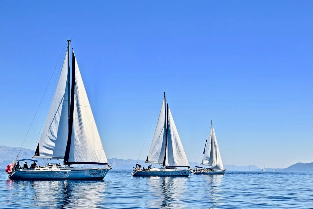
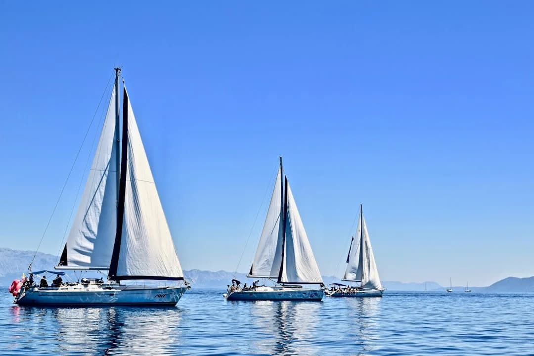
Photo by Karla Car on Unsplash
Why Sail the San Blas Route?
The Panama-to-Colombia passage via San Blas is not a shortcut. It is, however, a genuinely spectacular one. The San Blas archipelago — officially called Guna Yala, or Comarca Guna Yala — stretches along Panama's northeast Caribbean coast for about 100 miles. Picture postcard-perfect islands barely a meter above sea level, ringed by reef, with palm trees bending over water so clear you can read the anchor chain from the cockpit.
Most boats making this passage depart from Portobelo or the Linton Bay Marina area on Panama's Caribbean coast, or directly from Colón after transiting the Panama Canal. The destination is almost always Cartagena de Indias, Colombia — though some boats continue south to the Rosario Islands or Santa Marta.
The appeal is simple: you get to spend several days island-hopping through one of the last genuinely unspoiled island chains in the Caribbean, meeting Guna communities, snorkeling pristine reefs, and eating fresh lobster bought from a dugout canoe. Then you make the open-water crossing to Colombia, arriving in Cartagena's magnificent colonial harbor. It is — hands down — one of the best sailing destinations in the Caribbean.
The Route: Waypoints and Distances
The passage breaks into two distinct phases: island-hopping through the San Blas, and the open-water crossing to Colombia.
Phase 1: Panama Coast to San Blas Islands
From Linton Bay or Portobelo, you'll sail east-southeast along the coast. The distance to the western edge of the San Blas chain is about 30-40 nm, typically a day sail with the prevailing easterly trade winds on your nose. Many sailors motor-sail this stretch to make easting efficiently.
Key waypoints in the San Blas (west to east):
| Anchorage | Approx. NM from Linton Bay | Highlights |
|---|---|---|
| Isla Porvenir | 35 nm | Port of entry, customs clearance |
| Chichimé Cays | 42 nm | Classic postcard islands, good snorkeling |
| Lemmon Cays | 50 nm | Protected anchorage, Guna village |
| Cayos Holandeses (Dutch Cays) | 60 nm | Best snorkeling in the archipelago |
| Isla Pinos (Green Island) | 55 nm | Sheltered, good holding, provisioning |
| East Lemmon / Coco Bandero | 65 nm | Stunning, less visited |
You can calculate the exact distance between any of these waypoints using a nautical distance tool — it helps to plan your daily hops.
Most boats spend 3 to 7 days in the San Blas before making the crossing to Colombia. Rushing through defeats the purpose. If you have a week, take it.
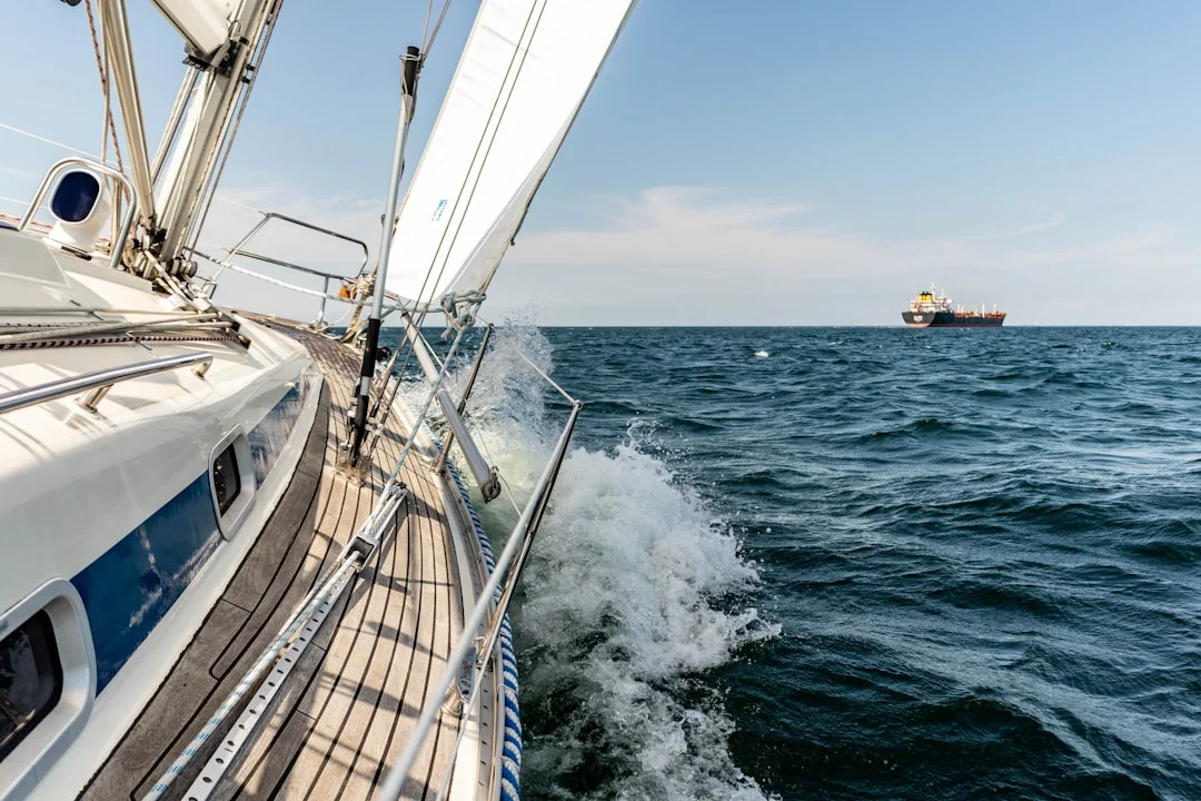
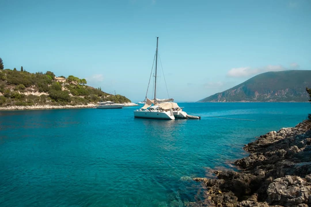
Photo by Michael Held on Unsplash
Phase 2: San Blas to Cartagena
The open-water crossing from the eastern San Blas (around Cayos Holandeses) to Cartagena is approximately 150 to 180 nm. This is the serious part of the trip. You'll leave the protection of the islands and cross the southern Caribbean, where the trade winds blow a steady 15-25 knots from the east-northeast and the seas can build to 2-3 meters.
Most boats depart in the late afternoon or early evening to arrive in Cartagena during daylight. The crossing takes 24 to 36 hours depending on your boat, the wind, and how much easting you've gained. Sailing at night in these waters demands good watch-keeping — there is some commercial traffic, and occasional fishing boats without lights.
The key tactical decision: gain as much easting as possible while still in the San Blas. The further east you depart, the more favorable your angle to Cartagena. Boats that leave from the western cays often end up beating hard into 20-knot trades for 30+ hours — exhausting and demoralizing. Boats that depart from the Holandeses or further east can reach or broad-reach most of the way. It makes an enormous difference.
Best Time to Sail Panama to Colombia
The dry season — roughly December through April — is the prime window. The trade winds are established, the weather is mostly settled, and rain squalls are less frequent. January through March sees the strongest trades (sometimes 25-30 knots), which makes for fast but bouncy crossings.
| Month | Wind (kts) | Seas | Rain | Verdict |
|---|---|---|---|---|
| Dec | 15-20 | Moderate | Low | Excellent — trades building |
| Jan | 20-25 | Moderate-Rough | Low | Fast crossings, experienced crews |
| Feb | 20-28 | Rough | Low | Strong trades, demanding |
| Mar | 18-25 | Moderate-Rough | Low | Still solid, easing slightly |
| Apr | 15-20 | Moderate | Rising | Good window before rainy season |
| May-Nov | Variable | Variable | High | Possible but squalls frequent |
The rainy season (May through November) is not impossible, but you'll deal with more squalls, lightning, and periods of confused seas. The upside: lighter winds make for calmer crossings when weather windows appear.
Logistics and Formalities
Clearing Out of Panama
You must clear out of Panama before departing the San Blas. The two main options:
Isla Porvenir — the official port of entry/exit for Guna Yala. A small airstrip, a customs office, and a Guna congress building. Arrive early; the officials keep their own hours. Expect to pay a cruising permit fee of $20-50 USD per person for visiting Guna Yala, plus port fees.
Carti — another clearance point, accessible by road from Panama City. Less commonly used by sailboats.
You'll need: passports for all crew, ship's papers, a zarpe (departure clearance) from your last Panamanian port, and crew lists. The process is generally relaxed but can take a couple of hours, especially if the official needs to come by boat from another island.
The Guna Yala Cruising Fee
The Guna people are autonomous within their territory. They charge visiting boats a cruising fee — typically around $20 per person — plus individual island landing fees of $2-5 per person at some anchorages. Lobster, fish, and molas (traditional hand-stitched textiles) are sold directly from canoes. Cash only — there are no ATMs in the San Blas.
Bring small US dollar bills. Lots of them. Fives and tens are ideal. The Guna don't always have change for large bills, and many island purchases — coconuts, lobster, molas, transportation — cost between $1 and $20.
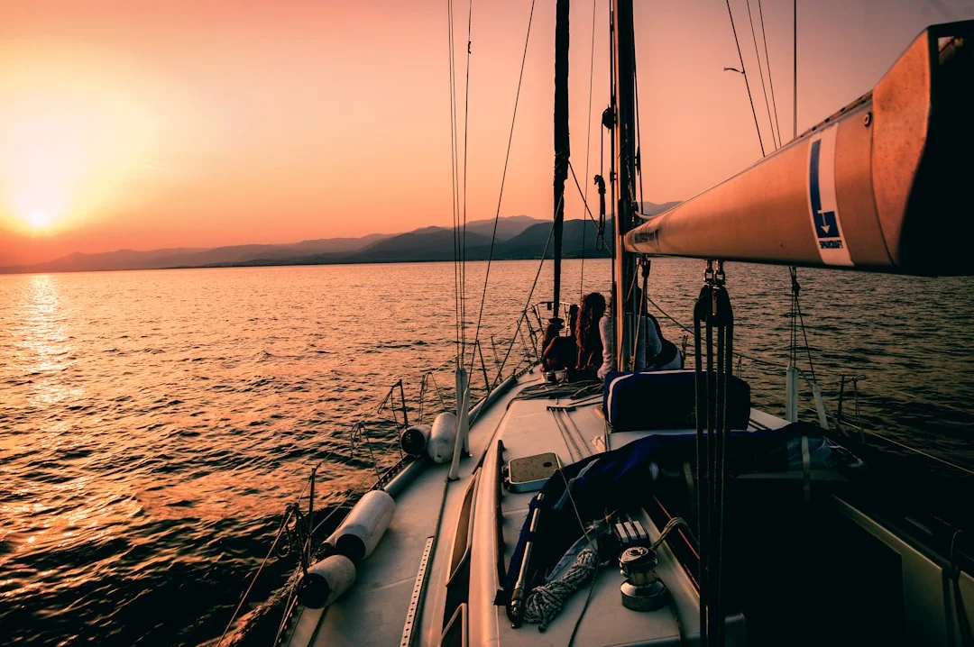
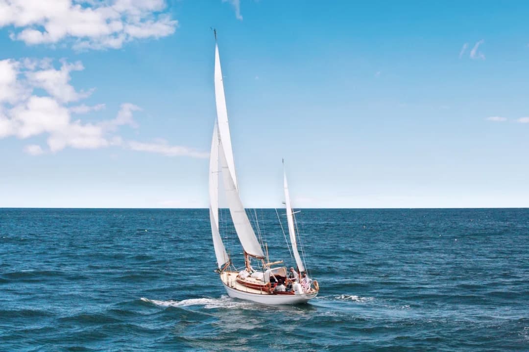
Photo by Markos Mant on Unsplash
Clearing Into Colombia
Arrival in Cartagena means clearing in at Club Náutico or anchoring in the bay near the old city. You'll need to visit:
- Port Captain (Capitanía de Puerto) — for the zarpe
- Immigration (Migración Colombia) — passport stamps
- Customs (DIAN) — boat clearance
The process can take half a day. An agent can speed things up for about $50-80 USD, and many sailors find it worth every cent. Cartagena's bureaucracy is not hostile — just slow, warm, and paper-heavy.
Choosing a Boat: Charter, Crewed, or Your Own
Three options for this passage:
Crewed sailboat (backpacker boats): The most common option for travelers without their own vessel. Dozens of boats run the Panama-to-Colombia route (and vice versa) as a commercial service. Typical cost: $500-700 USD per person for a 4-5 day trip including basic meals. You get a bunk, three meals a day, and the sailing experience. Quality varies wildly — from well-maintained catamarans with professional skippers to aging monohulls with captains of questionable sobriety. Read recent reviews carefully.
Bareboat charter: Less common on this specific route due to the open-water crossing and border formalities. If you're an experienced sailor, some charter companies in Panama allow one-way charters, but availability is limited. Check whether the charter company permits international crossings.
Your own boat: The ideal scenario. You set your own schedule, anchor where you want, and aren't bound to the 4-day timeline of the backpacker boats. You can linger in the Holandeses for a week if the snorkeling is good — and it will be.
Anchoring in the San Blas
The anchorages in San Blas are generally well-protected from the prevailing trades, with the islands and reefs breaking the swell. Holding varies — patches of sand between coral heads — so you'll want to dive on your anchor or use a camera to confirm it's set properly. For detailed technique on setting your hook in coral and sand, our guide on how to anchor a sailboat covers scope ratios and overnight tips that apply directly here.
Depths range from 3-15 meters in most anchorages. Sand patches are your target; avoid dropping on coral.
Holding: Generally good in sand, poor on grass, terrible on coral rubble. A CQR or Rocna-style anchor works well; a Danforth can struggle in the mixed bottom.
Surge: Some anchorages roll with northerly swell. The Holandeses can get uncomfortable when the trades clock north of east. Have a backup plan.
Tidal range is minimal — about 30 cm — so this is one place where your anchor rode calculations are simple.
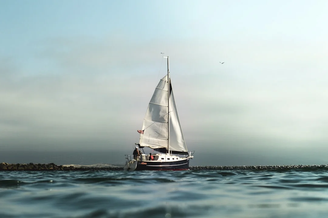
Photo by Jeremy Bishop on Unsplash
What to Expect on the Crossing
The open-water leg from San Blas to Cartagena is the passage's crux. Here's what to prepare for:
Seas: The Caribbean here is not the flat turquoise water of the anchorages. Expect beam-to-quartering seas of 1.5 to 3 meters, occasionally more in strong trades. The wave period is typically 6-8 seconds — short enough to keep things lively on deck.
Current: The Caribbean current runs generally west-northwest at 0.5-1.5 knots. This helps if you've gained enough easting — it'll push you toward Cartagena. If you're already too far west, it makes things worse.
Wind: Steady trades of 15-25 knots from the east-northeast. Rarely calm. This is a trade-wind passage, not a drifter. Reef early, reef often.
Night sailing: The crossing almost always involves at least one night at sea. Ensure your navigation lights work, your radar reflector is up, your AIS is transmitting (if equipped), and your crew knows the watch schedule. Some boats report seeing unlit fishing pangas — keep your eyes sharp.
Lightning: Caribbean squalls, particularly in the transition months, can produce spectacular (and terrifying) electrical storms. If your rigging isn't grounded, think about it.
Provisioning and Preparation
There are no supermarkets in the San Blas. Provision fully in Panama City or Colón before departing. The Guna sell lobster, coconuts, and occasionally fish, but don't count on this for your entire food supply.
Checklist Before Departure
- Water: Fill all tanks. Budget 3 liters per person per day minimum. There's no reliable freshwater in the islands
- Fuel: Top off diesel. Many anchorages require motoring in/out through reef passes
- Cash: $300-500 USD in small bills per person for Guna fees, food purchases, and agent fees in Cartagena
- Dinghy and outboard: Essential for getting ashore, visiting islands, and snorkeling trips
- Snorkeling gear: The reefs here are genuinely world-class. Don't miss them
- Fishing gear: Trolling between islands can produce mahi-mahi and tuna
- Charts: Paper or electronic. The Bauhaus/Explorer charts for San Blas are the most detailed available. Satellite imagery overlaid on your chartplotter is extremely useful for eyeball navigation through reef passes
- Zarpe and ship's papers: Multiple copies of crew lists, passports, and boat documentation
- Colombian pesos: Not essential (USD accepted in Cartagena's marina area) but helpful for taxis and restaurants ashore
Use Breezada's sea distance calculator to check exact nautical miles between your planned waypoints — it's particularly useful when plotting daily hops through the archipelago.
Safety Considerations
This passage is not inherently dangerous, but it demands respect.
Reef navigation: Many San Blas passages between islands are narrow and coral-studded. Enter and exit anchorages with the sun behind you (ideally between 10:00 and 14:00) so you can read the water color. Polarized sunglasses are not optional — they're essential.
Weather windows: For the open-water crossing, wait for a reasonable forecast. A cold front pushing through can temporarily shift the trades and create confused seas. GRIB files, PredictWind, or local weather nets (the cruiser VHF net on channel 68 in the San Blas is useful) will help you time your departure.
Medical preparedness: The nearest hospital is hours away by boat. Carry a well-stocked first aid kit, know how to treat coral cuts (they infect easily in the tropics), and have contingency plans for seasickness on the crossing.
Theft: The San Blas are generally safe, but opportunistic theft from dinghies and cockpits does occur. Lock your dinghy at night, keep valuables below, and exercise the same caution you would anywhere.
Arriving in Cartagena
After 24-36 hours at sea, the skyline of Cartagena de Indias emerges from the haze — a striking mix of colonial fortress walls and modern high-rises. The entrance to the harbor passes through the Bocachica channel, and the anchorage options include:
- Club Náutico de Cartagena — the main marina and clearance point. Safe, convenient, social. Expect to pay $25-40/night for a mooring
- Manga anchorage — free anchoring in the inner harbor, dinghy to shore. Rolly but popular with budget cruisers
- Bahía de las Ánimas — closer to the old city, shallow, local flavor
Cartagena itself is extraordinary — the walled old city, the Getsemaní neighborhood, the food, the music. Most sailors end up staying longer than planned. You've been warned. From here, many crews continue east to the hurricane-free ABC Islands — Aruba, Bonaire, and Curacao — a natural extension of the southern-Caribbean season.
Budget Breakdown
| Expense | Estimated Cost (USD) |
|---|---|
| Guna Yala cruising fee | $20-50/person |
| Island landing fees | $10-30 total |
| Lobster/fish purchases | $20-50 |
| Molas and crafts | $15-40 |
| Fuel (diesel top-up) | $50-150 |
| Colombia clearance (with agent) | $50-80 |
| Cartagena marina (3 nights) | $75-120 |
| Provisioning (1 week, 2 people) | $150-250 |
| Total (own boat, 2 crew) | $400-770 |
| Backpacker boat per person | $500-700 |
Frequently Asked Questions
How long does it take to sail from Panama to Colombia?
The full trip — including time in the San Blas Islands and the open-water crossing to Cartagena — typically takes 5 to 10 days. The crossing itself is 24-36 hours of sailing. Backpacker boats usually run on a 4-5 day schedule, while private boats often spend a full week or more enjoying the San Blas before crossing.
Is it safe to sail from Panama to Colombia through the San Blas?
Yes, the route is well-established and sailed by hundreds of boats every season. The main risks are reef navigation (easily managed with good charts and daytime transits), weather on the open crossing (check forecasts and pick your window), and occasional petty theft. Piracy is not a concern on this route. The Guna Yala territory is one of the safest cruising grounds in the Caribbean.
Can I sail from Colombia to Panama instead?
You can, but it's harder. The prevailing trade winds blow from east to west, so Colombia-to-Panama means beating into the wind and current for the open-water crossing. Many boats motor-sail much of this leg. The San Blas portion is fine either direction. Boats heading west often depart Cartagena in the evening and motor-sail hard to reach the protection of the San Blas before the trades build the following day.
Do I need a visa for Colombia if arriving by boat?
Most nationalities receive a 90-day tourist visa on arrival, stamped by Migración Colombia during your clearance process in Cartagena. Check current requirements for your nationality before departure — some countries do require advance visas. Your boat is cleared separately through customs (DIAN) and the port captain.
What if I get seasick on the crossing?
The open-water leg is legitimately rough for many people — beam seas of 2-3 meters for 24+ hours. Take your preferred seasickness remedy before departure (scopolamine patches, meclizine, or ginger tablets). Stay hydrated, avoid going below for extended periods, and keep your eyes on the horizon. If you're prone to severe seasickness, the backpacker boats with enclosed cabins can feel worse than sitting in the cockpit of a well-ventilated sailboat.
Are there any alternatives to sailing for crossing the Darién Gap?
Yes — you can fly. Several airlines operate daily flights between Panama City and Cartagena (about 1.5 hours, $100-250 one-way). But you'll miss the San Blas entirely, which most travelers consider the highlight of the journey. Some travelers combine both: fly one direction, sail the other.
About the Author
Related Articles

Standing Rigging Replacement: Lifespan, Cost & Options
Learn standing rigging replacement lifespan, costs, and wire vs rod pros/cons. Get practical tips and plan your refit—read now.
By Breezada Team
Best Sailing Destinations for Beginners: Easy Charters
Discover the best sailing destinations for beginners with easy charter routes and calm waters. Plan your first trip—read the guide now!
By Breezada Team
Sailboat Ran Aground What to Do: Actions & Tow
Sailboat ran aground what to do? Follow these steps, try kedging, and know when to call for a tow—read the checklist now.
By Breezada Team

BVI Sailing Itinerary: 7 Days, Moorings & Permits
Plan the perfect BVI sailing itinerary in 7 days—best moorings, permits, and tips. Use this guide to map your route and book your stops now.
By Breezada Team