Sailing the Aegean Sea: Turkey to Greece Island Hopping
The Aegean Sea is one of the most rewarding sailing grounds on the planet — a patchwork of over 2,000 islands straddling two countries, where a morning coffee in a Turkish harbor can lead to an afternoon swim off a Greek beach barely 10 nautical miles away. The crossing from Turkey to Greece by sailboat is shorter than most people imagine, and the island-hopping possibilities once you're in Greek waters are practically infinite.
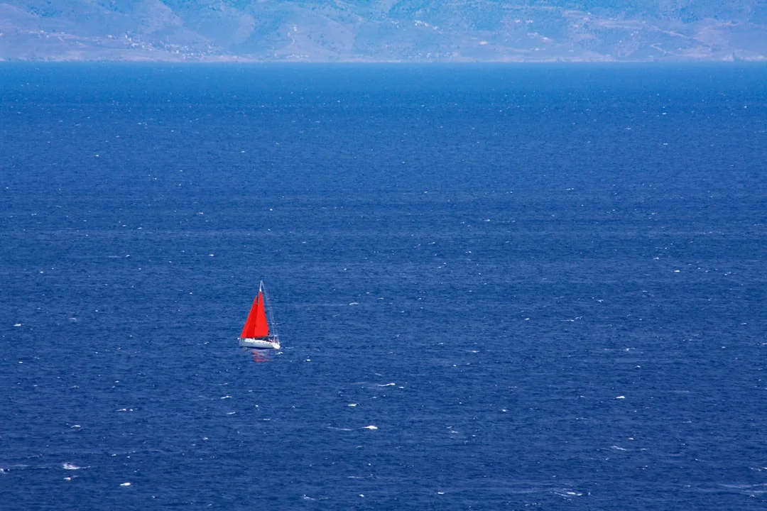
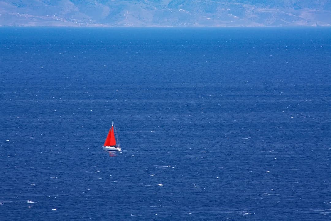
Photo by Vasilis Caravitis on Unsplash
Why the Aegean Is Perfect for Island Hopping
The Aegean's geography practically begs for sailing. Unlike open-ocean passages where you might go days without seeing land, the Aegean rarely puts you more than 20-30 nm from the next island. That means short day-sails of 3-6 hours, with a new anchorage, a new taverna, and a new set of ruins to poke around every evening.
The water is deep and mostly clear of hazards — no coral reefs to dodge, few uncharted rocks outside of the well-documented ones on Turkish and Greek charts. The bottom is typically sand or mud, which means your anchor sets reliably and you sleep well at night. Visibility underwater routinely exceeds 20 meters, so you'll spot your anchor chain from the cockpit.
The sailing season runs from May through October, with July and August bringing the strongest winds. The meltemi — a northerly that barrels down the Aegean in summer — is both the region's signature wind and its biggest challenge. More on that later.
For anyone who's explored Turkey's Turquoise Coast, the Aegean's eastern shore feels like a natural continuation. If you've already sailed the stretch from Bodrum to Marmaris, you're well positioned for a crossing. For a deeper look at Turkey's sailing grounds, our guide to sailing in Turkey covers the Turquoise Coast and the Turkish Aegean in detail.
The Turkey-to-Greece Crossing: What to Expect
The jump from Turkey to the nearest Greek islands is surprisingly short. Here are the most common crossing points:
| Departure (Turkey) | Arrival (Greece) | Distance | Typical Sailing Time |
|---|---|---|---|
| Bodrum | Kos | 12 nm | 2-3 hours |
| Cesme | Chios | 8 nm | 1.5-2 hours |
| Kusadasi | Samos | 13 nm | 2-3 hours |
| Datca | Symi | 18 nm | 3-4 hours |
| Turgutreis | Kalymnos | 20 nm | 3-4 hours |
These aren't intimidating passages. Even the longest — Turgutreis to Kalymnos — is barely a half-day sail. You can calculate the exact distance between any two ports to fine-tune your passage planning.
Border Formalities
Crossing between Turkey and Greece by boat requires clearing customs and immigration in both countries. It's more paperwork than difficulty, but you need to get it right:
Leaving Turkey:
- Clear out at a designated port of exit (Bodrum, Cesme, Kusadasi, Datca, Marmaris)
- Visit the harbor master's office with your transit log, crew list, and passports
- The process typically takes 30-60 minutes
- You must depart within 24 hours of clearing out
Entering Greece:
- Head directly to a port of entry (Kos, Rhodes, Samos, Chios, Lesbos, among others)
- Fly the Q flag (yellow) until cleared
- Present passports, boat documentation, and insurance at the port police
- Non-EU boats pay a Cruising Tax (TEPAI) — currently around 8-30 per month depending on boat length
- The Greek transit log must be stamped at each new port of call
One important detail: your boat insurance must explicitly cover Greek waters. Most Turkish charter companies include this by default, but confirm before you depart.
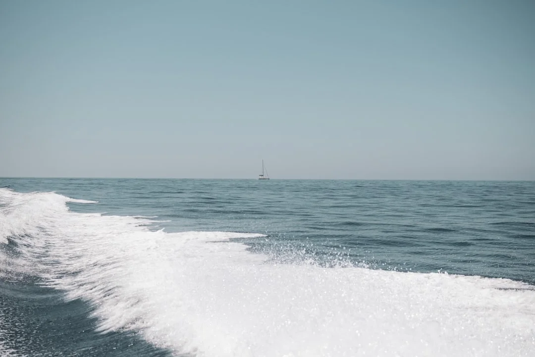
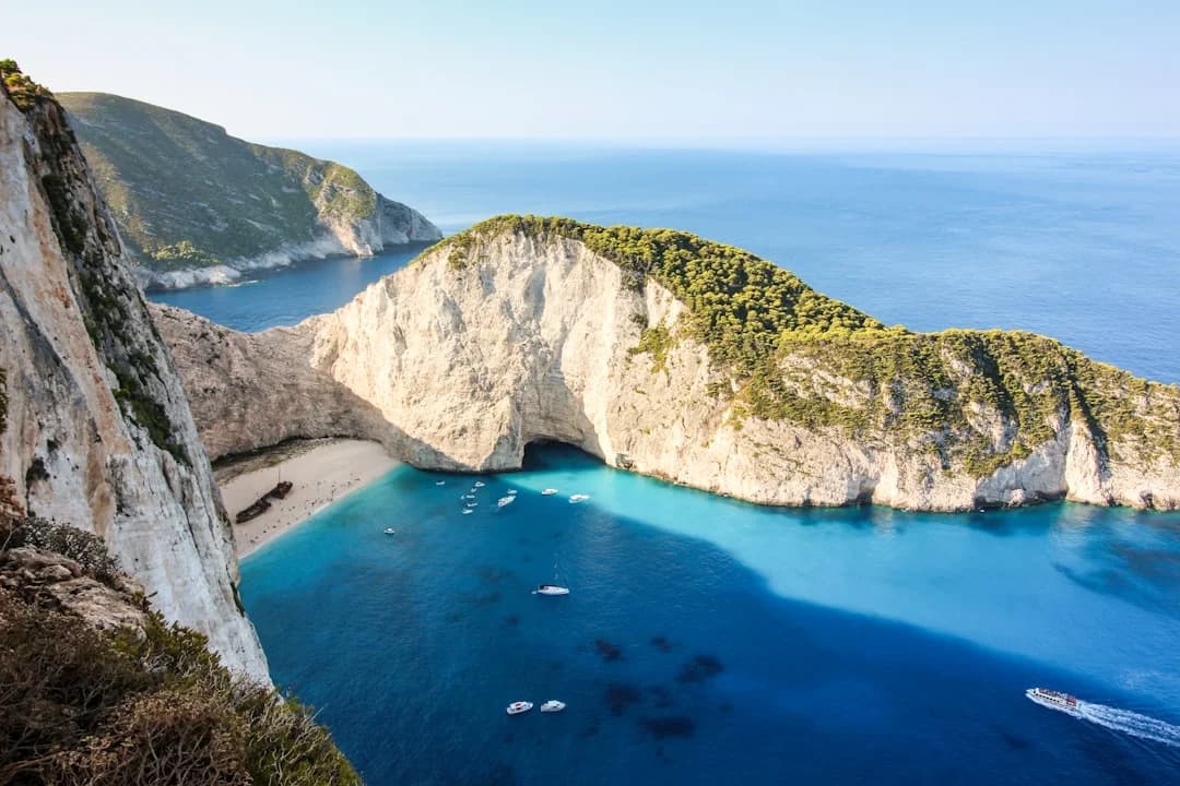
Photo by Iason Raissis on Unsplash
Island Hopping Routes: Three Itineraries
Route 1: Dodecanese Chain (7-10 days)
Start: Bodrum or Datca → Kos → Kalymnos → Leros → Lipsi → Patmos → Symi → Rhodes
This is the classic Turkey-to-Greece island hop. The Dodecanese islands string along the Turkish coast like stepping stones, each one different in character.
- Kos — flat, lively, great for provisioning. The harbor is right in town, but it's exposed to southerlies. Anchor in Kefalos Bay on the west end for better shelter.
- Kalymnos — the sponge-diving island. Steep cliffs, world-class rock climbing, and a harbor that feels like stepping back 50 years. Vathy is a stunning fjord-like inlet on the east coast.
- Leros — underrated. Lakki is one of the most protected harbors in the Aegean, built by the Italians in the 1930s with art deco architecture that feels completely out of place.
- Patmos — where John wrote Revelation. The Monastery of St. John sits above Skala harbor like a fortress. Arrive early — mooring space fills fast in July.
- Symi — the postcard island. The neoclassical houses stacked up the hillside in Gialos harbor are among the most photographed scenes in Greece. Stern-to mooring is tight here, so practice before you arrive.
- Rhodes — big, historical, with full marina facilities. The medieval Old Town is a UNESCO site. Good place to end and arrange crew changes or provisioning.
Total distance: approximately 120 nm. You can use Breezada's sea distance calculator to plot each leg and check exact nautical miles for your specific waypoints.
Route 2: Eastern Sporades & Northeast Aegean (10-14 days)
Start: Cesme or Kusadasi → Samos → Ikaria → Fourni → Mykonos → Tinos → Syros
This route takes you from the Turkish coast into the heart of the Cyclades via some of the Aegean's most characterful islands.
- Samos — green and mountainous, the closest Greek island to Turkey. Pythagoreion is a well-protected harbor with a lively waterfront.
- Ikaria — named after Icarus, and still wild. The locals are famous for longevity and for ignoring conventional schedules. Evdilos is a better bet for yachts than Agios Kirykos.
- Fourni — an archipelago of tiny islands between Samos and Ikaria. Virtually no tourism. The main village has a few tavernas serving whatever the fishermen caught that morning.
- Mykonos — the contrast couldn't be sharper. Glamorous, expensive, and packed in summer. The old port is beautiful but untenable in the meltemi — use the new marina on the south side.
Route 3: Quick Dodecanese Loop (4-5 days)
Start: Bodrum → Kos → Nisyros → Tilos → Symi → Bodrum
A tighter loop for those on a one-week charter. Nisyros has an active volcanic caldera you can walk down into — the sulfur vents are still steaming. Tilos is one of the quietest inhabited islands in the Dodecanese, with only about 500 year-round residents.
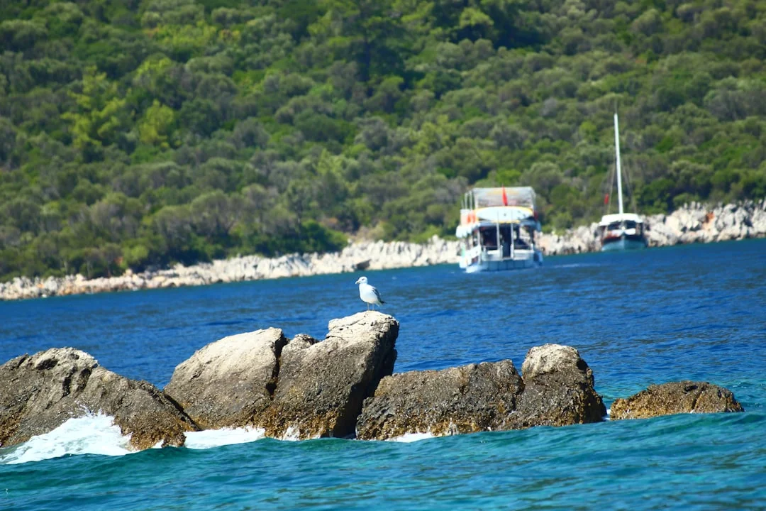
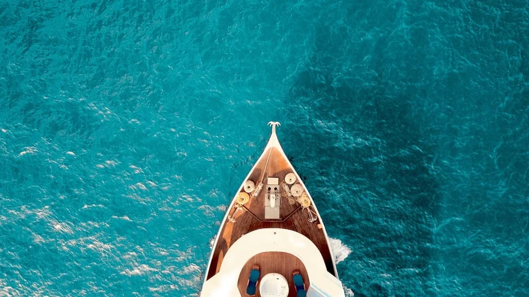
Photo by Seval Torun on Unsplash
Dealing with the Meltemi
The meltemi is the defining feature of Aegean sailing. This dry northerly wind blows reliably from late June through September, typically building from mid-morning and dying after sunset. On a moderate day it blows Force 4-5 (15-22 knots). On a strong day, it can hit Force 7-8 (30-40 knots), and it's not unusual for it to blow at this strength for 3-4 consecutive days.
How the meltemi affects your routing:
- Sailing south through the islands is a downwind run — fast, comfortable, sometimes too fast if you're not reefed early enough.
- Sailing north is a different story entirely. You'll be beating into short, steep seas that the Aegean is famous for. The fetch between islands is just enough to build uncomfortable chop without the long ocean swells that a boat can ride over smoothly.
- Acceleration zones form in the channels between islands. The wind can be 15 knots on one side of an island and 30 knots in the strait. The Kos-Kalymnos channel and the strait between Mykonos and Tinos are notorious for this.
Practical meltemi tactics:
- Sail early. Leave at dawn when the wind is light. By noon you should be anchored or on your final approach.
- Plan for shelter. Always know where the nearest south-facing anchorage is. The meltemi comes from the north, so south-facing bays are your refuge.
- Allow layover days. In a two-week trip, assume you'll lose 2-3 days to wind. Build this into your itinerary.
- Reef early. When the meltemi is building, it accelerates fast. Reef before you think you need to.
- Use the lees. Large islands create wind shadows. Sailing along the south coast of a big island like Kos or Rhodes can give you flat water while the north side is chaos.
If you're planning a yacht charter in Greece during July or August, factor the meltemi into every decision. It's manageable with the right preparation, but it will punish a crew that ignores the forecast.
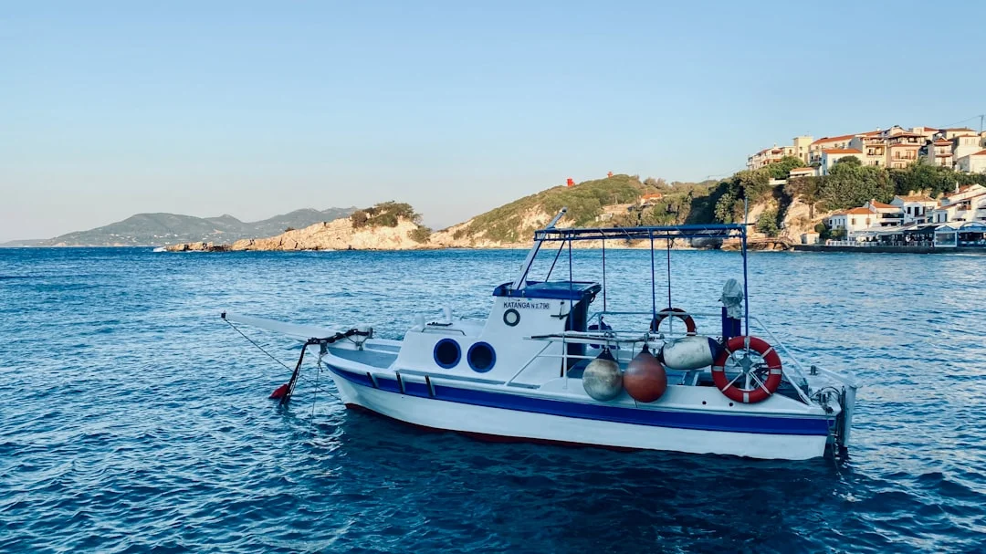
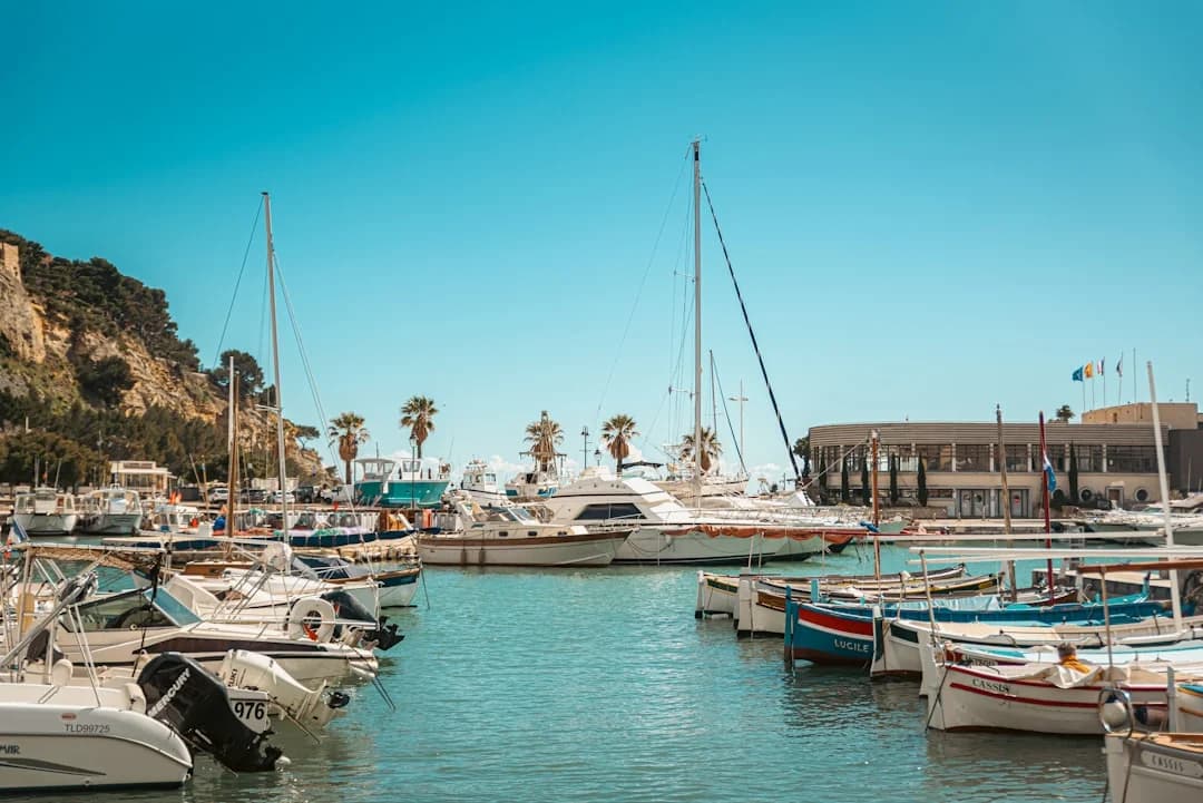
Photo by Armand Khoury on Unsplash
Provisioning and Logistics
Where to Provision
Stock up in Turkey before crossing — groceries, fresh produce, and especially alcohol are significantly cheaper than in Greece. Bodrum's central market has everything a boat needs, and there are chandleries near the marina for spare parts and hardware.
In Greece, the larger islands have well-stocked supermarkets:
- Kos — several supermarkets within walking distance of the marina
- Rhodes — full provisioning including specialty items
- Samos — Pythagoreion has a decent mini-market; Vathy town is better for a full shop
- Mykonos — expensive but well-stocked
Smaller islands like Lipsi, Fourni, and Tilos have basic shops with bread, cheese, vegetables, and canned goods — but don't expect fresh meat or a wide selection.
Fuel and Water
Fuel docks are available at most ports of entry and larger marinas. Prices in Greece are higher than Turkey — expect to pay 1.80-2.10 per liter for diesel. Always top up when you can; some of the smaller islands don't have fuel facilities.
Water is scarce on many Aegean islands, especially in summer. Fill your tanks at every marina, and consider carrying a portable watermaker if you plan extended time at anchor.
Mooring Costs
| Location | Typical Cost (12-14m boat) |
|---|---|
| Turkish marinas | 40-80/night |
| Greek municipal quays | Free-20/night |
| Greek marinas (Kos, Rhodes) | 30-60/night |
| Anchoring | Free |
Most nights, you'll be anchoring in bays or stern-to on a town quay for minimal cost. The Dodecanese in particular has dozens of free anchorages with good holding in 5-10 meters of water over sand.
When to Go
| Month | Wind | Temperature | Crowds | Rating |
|---|---|---|---|---|
| May | Light-moderate | 22-26C | Low | Great for beginners |
| June | Moderate, meltemi starts | 26-30C | Moderate | Ideal balance |
| July | Strong meltemi | 30-34C | High | Experienced sailors |
| August | Strongest meltemi | 30-35C | Peak | Experienced only |
| September | Meltemi fading | 26-30C | Moderate | Excellent sailing |
| October | Light, occasional storms | 20-24C | Low | Last chance |
The sweet spots are June and September. June offers warm weather, manageable wind, and open anchorages. September brings mellower conditions after the meltemi fades, water temperatures at their warmest (26-27C), and thinner crowds as the charter fleets start heading home.
May and October work well for experienced sailors who don't mind cooler evenings and the occasional unsettled weather system.
Essential Gear and Charts
Standard Mediterranean sailing gear applies, plus a few Aegean-specific additions:
- Chart plotter with up-to-date Greek charts — Navionics and C-MAP both have good Aegean coverage. Paper backup charts for the Dodecanese are published by Imray (M26, M27).
- Snorkeling gear — the water clarity makes this non-negotiable. You'll be swimming every day.
- Long anchor chain (50m+) and a solid anchor — many Greek bays require anchoring in 10-15m depths with a line ashore to the rocks. Practice the Mediterranean moor before you need it.
- Windscoop or good ventilation — July and August nights can be warm when the meltemi drops.
- Dinghy with outboard — essential for reaching tavernas when anchored in bays with no quay.
- Fenders and plenty of dock lines — stern-to mooring in Greek ports means close quarters with your neighbors.
- VHF with DSC — Channel 16 for emergencies, Channel 12 for port operations in most Greek harbors.
Safety Considerations
The Aegean is generally safe for competent sailors, but a few things deserve attention:
Traffic: The shipping lanes between Turkey and Greece carry large vessels, ferries, and fast catamarans. The high-speed ferries connecting the Dodecanese move at 30+ knots and create significant wake. Keep a proper watch, especially in crossing zones.
Weather forecasting: Use POSEIDON (Greek meteorological service) for Aegean-specific forecasts. The Hellenic Coast Guard broadcasts weather on VHF Channel 16 at scheduled intervals. Windy and PredictWind both cover the Aegean well. GRIB files from ECMWF are the gold standard for passage planning.
Medical facilities: The larger islands (Kos, Rhodes, Samos) have hospitals. Smaller islands have health centers with limited capabilities. Carry a well-stocked first aid kit and know the coordinates of the nearest hospital at all times.
Night sailing: It's possible but not recommended between islands due to unlit fishing boats and the difficulty of identifying islands at night. If you must sail after dark, radar is a significant safety asset.
Frequently Asked Questions
Do I need a sailing license to charter a yacht in the Aegean?
Yes. Greece requires charterers to hold an ICC (International Certificate of Competence) or an equivalent national license such as the RYA Day Skipper, ASA 104, or a Greek sailing certificate. Turkey has similar requirements. If you don't hold a license, you'll need a skippered charter — which is a perfectly good way to do this trip, especially the first time.
How much does a week-long charter cost for a Turkey-to-Greece trip?
For a 40-foot monohull in peak season (July-August), expect 3,500-6,000 per week from a Turkish charter base like Bodrum. Shoulder season (May-June, September-October) drops to 2,000-4,000. Catamarans run 30-50% more. One-way fees from Turkey to a Greek drop-off point add 500-1,500 to the charter cost, so many sailors do a return loop instead.
Is it safe to sail from Turkey to Greece in a small boat?
The crossings are short — most are under 15 nm — and well-traveled. In settled weather, a competent crew in a well-found boat of 30 feet or more will have no issues. The key risk is the meltemi: don't attempt a crossing if the forecast shows northerlies above Force 6 unless you have serious experience. Wait a day. The islands aren't going anywhere.
Can I anchor for free in Greece?
Yes. Anchoring in bays and coves is free throughout Greece. You only pay when using a municipal quay with facilities or a private marina. Many sailors in the Dodecanese spend the majority of nights at anchor, only tying up in ports for provisioning or customs formalities.
What's the best starting point for an Aegean island-hopping trip?
Bodrum, Turkey is the most popular starting point — it has excellent charter companies, a well-equipped marina, an international airport, and it's only 12 nm from Kos. Cesme works well if you're heading toward Chios and the northeast Aegean. Kusadasi gives you quick access to Samos. Each starting point opens a different set of Greek islands.
Do I need to clear customs at every Greek island?
You need to clear into Greece at your first port of entry, and your transit log should be stamped at major stops. In practice, on the smaller islands with no port police presence, this doesn't happen. The important thing is to have your paperwork in order at ports of entry and exit, and to clear out of Greece properly before returning to Turkey.
About the Author
Related Articles
Sailing Greece Itinerary: Cyclades & Saronic (7–14d)
Plan the perfect sailing Greece itinerary with 7–14 day routes through the Cyclades & Saronic. Get the day-by-day plan and start booking now.
By Breezada Team
Best Yacht Charter Destinations by Month Guide
Plan the perfect trip with the best yacht charter destinations by month. Find where to go each season and start booking your charter today.
By Breezada Team
Mediterranean Marina Fees 2026: Italy, Greece & Croatia
Compare Mediterranean marina fees 2026 for Italy, Greece and Croatia. Plan your route and budget—read the latest guide now.
By Breezada Team
Croatia Sailing Itinerary: Split to Dubrovnik (7 Days)
Follow this 7-day Croatia sailing itinerary from Split to Dubrovnik—route, stops, tips, and map. Plan your trip and start sailing today!
By Breezada Team