Sailing Greece Itinerary: Cyclades & Saronic 7–14 Days (Nautical Miles, Meltemi Tactics, Costs)
Greece rewards skippers who plan for nautical miles and sea state, not Instagram angles. The Saronic Gulf is forgiving, full of bolt-holes, and close to Athens; the Cyclades are iconic, windier, and more exposed to the Meltemi (Etesian) winds that commonly sit 20–30 knots in July–August, with ugly 35–40+ knot bursts in the wrong channel.
I’ll lay out two practical week-long loops—7 days Saronic from Alimos and 7 days Cyclades from Lavrion—then show how a 10–14 day plan makes the Meltemi feel like “wind management” instead of “wind trauma.” For your own numbers, plan your route using a sea distance calculator before you commit to a loop; it’s the fastest way to sanity-check time-underway and fuel.
Photo by Ekaterina Boltaga on Unsplash
Cyclades vs Saronic: choose the right 7–14 day plan
Comfort, sea state, and “move-or-stay” flexibility
If your priority is relaxed days, swimming stops, and short hops, the Saronic is the smarter first pick. You’re usually within 10–15 nm of a bailout harbor, the fetch is limited, and a “bad” day is often a pleasant reach with 15–20 kt rather than a hobby-horsing beat into short Aegean chop. That geometry matters more than brochure promises.
The Cyclades are different water: bigger gaps, acceleration between islands, and seas that steepen fast when the Meltemi sits 25–30+ kt. A “short” 20 nm leg can become 4–6 hours if you’re tacking and slowing into head seas, even though at 6 kt you’d expect about 3.3 hours in flat water. This is why I like a 10–14 day Cyclades plan in July–August, even when the crew is capable.
Base choice: Alimos (Athens) vs Lavrion for first-day reach
For Saronic itineraries, Alimos/Kalamaki is convenient and you’re off quickly once you escape the marina maze. The classic first legs are realistic: Alimos→Aegina ~15–18 nm, Alimos→Poros ~25–30 nm, and Alimos→Hydra ~35–40 nm depending on routing. At 6 kt SOG, that’s roughly 3 hours, 5 hours, and 6+ hours respectively before lunch stops, traffic avoidance, and the inevitable “where’s the sunscreen bag?”
For Cyclades, Lavrion often beats Alimos because it shortens the commitment on day one. Lavrion→Kea ~12–16 nm and Lavrion→Kythnos ~20–30 nm are doable before the afternoon build—especially if you’re away by 0700–0900. You also spend less time crossing Athens traffic lanes where proper lookout (COLREGs/USCG Navigation Rules mindset) isn’t optional.
Crew fit: families, first-time bareboat, and performance sailors
Families and first-time bareboat crews generally get more joy per mile in the Saronic. Short legs mean less fatigue, more time to practice stern-to Med-mooring, and easier provisioning cadence; your fridge and water tanks (often 300–500 L water, 160–250 L diesel on 36–46 ft charters) stay ahead of demand.
Performance-minded sailors love the Cyclades because you can sail fast and hard—then get humbled by a gusty channel. If you only have 7 days in peak season, pick a route that can tolerate a 24–48 hour pause without turning into a panicked overnight return. That’s the real decision: are you planning an itinerary, or are you planning a schedule?
Tip box (captain’s rule): In July–August, build your Greece plan around “weather days”. A rigid 7-day Cyclades loop is how people end up motoring into 30 kt with tired crew and a bruised bow.
Photo by Dimitris Kiriakakis on Unsplash
Meltemi strategy: timing, routing, reefs, and triggers
Seasonality and daily cycle (why mornings matter)
The Meltemi is most frequent and intense June–September, peaking in July–August. In many patterns it builds late morning into afternoon, which is why experienced skippers treat 0700–0900 as prime departure time on crossing days. If you’re still drinking coffee at 1030, you’re donating comfort to the wind gods.
That daily cycle changes how you plan meals and arrivals. I’d rather do 18–25 nm early, tie up by noon, and swim while it blows 25 kt than arrive at 1700 with a crosswind and a crowded quay. Also, Greek harbors get busy late day; your “arrive by 1500” rule is worth more than another island stamp.
Acceleration zones, headlands, and Aegean chop management
The nasty part isn’t just the wind speed; it’s the acceleration in gaps and around headlands that turns a forecast 20–25 kt into 30+ kt gusts and sharp seas. Those seas are short-period, so you slam, slow down, and the crew stops enjoying the “authentic Aegean experience” about 20 minutes in. If the leg is upwind and exposed, a conservative trigger is 25–30+ kt forecast: reroute, wait, or pick a leeward hop.
Routing direction matters because the dominant wind is usually N–NW. Clockwise vs counterclockwise isn’t religion, but it’s geometry: choose legs that are reaches rather than beats whenever you can. Use Breezada’s sea distance calculator to compare alternate “short but exposed” legs against “slightly longer but sheltered” coast-hugging options; the second one often wins on comfort and time.
Reefing, sail plan, and engine-assist tactics for charter boats
On charter boats, comfort and control beat hero sailing. Practical reefing thresholds (not law, just good habits): first reef around 15–18 kt apparent, second reef around 20–25 kt apparent, and reduce headsail early to kill weather helm before it becomes a fight. A rolled genoa to 60–70% is often more balanced than flogging full canvas until the autopilot begs for mercy.
There’s no shame in engine-assist when you’re punching chop. If the boat’s diesel is 40–60 hp and burns 3–6 L/h, a 5-hour motor-sail day can cost 15–30 L, plus maneuvering. Plan fuel with the assumption that “sailing Greece” sometimes means “sailing until the sea state says no.”
Forecast workflow: Poseidon/HNMS, GRIBs, VHF, and updates
A repeatable workflow keeps decision-making calm. The night before: check Poseidon (HNMS) marine forecast, read the wording for gusts, and identify the channel or headland that will hurt you. At 0600–0700: update with the latest run, look at wind direction changes (NNW vs WNW matters), and confirm your “turning point” if conditions exceed your trigger.
Right before committing to a crossing, use eyeballs: whitecaps density, cloud lines over channels, and wind noise in rigging at anchor. Monitor VHF for local traffic and any port authority guidance, and keep a SOLAS V mindset—voyage planning and lookout are not optional in ferry territory. Brief the crew in two minutes: expected wind range (20–30 kt?), reef plan, and the “no heroics” rule for returns.
Photo by Mac McDade on Unsplash
7-day Saronic Gulf itinerary from Athens (Alimos base)
Day-by-day route with realistic nautical miles and ETAs
This is a practical Saronic Gulf sailing itinerary 7 days that leaves room for lunch stops and avoids daily marathons. Times assume 5–7 kt typical SOG; use hours ≈ nm ÷ 6 as a planning baseline, then add margin for traffic and “life aboard.”
| Day | Leg (example) | Nautical miles (nm) | Underway at ~6 kt (hrs) | Notes |
|---|---|---|---|---|
| 1 | Alimos → Aegina Town | 15–18 | 2.5–3.0 | Great first-day check sail; easy bailout options. |
| 2 | Aegina → Poros | 18–25 (route) | 3.0–4.2 | Watch ferry tracks; arrive before 1600 for quay space. |
| 3 | Poros → Hydra | 12–18 | 2.0–3.0 | Short hop; Hydra gets crowded—plan to anchor off if needed. |
| 4 | Hydra → Spetses | 15–20 | 2.5–3.3 | Afternoon thermal can funnel; brief Med-moor roles. |
| 5 | Spetses → Ermioni (or Porto Heli) | 10–18 | 1.7–3.0 | “Rest leg” for crew morale and systems checks. |
| 6 | Ermioni → Poros (or Epidavros) | 18–30 | 3.0–5.0 | Keep options open; choose based on wind and fatigue. |
| 7 | Poros → Alimos | 25–30 | 4.2–5.0 | Start early to beat Athens traffic and fuel dock queues. |
If you want a single long reach, Alimos→Hydra ~35–40 nm is doable, but it turns day one into 6+ hours plus checkout delays. For most crews, Aegina first is a smarter shakedown: you find the squeaky locker, the leaky shower sump, and the missing boat hook while still close to the base.
Harbor approach, Med-mooring notes, and plan-B anchorages
Saronic towns still run stern-to Med mooring on busy quays, and afternoons can bring crosswinds that make first-timers sweaty. Give yourself an admin buffer too—on busy days, allow 30–90 minutes for any paperwork/harbor authority steps the charter company advises. It’s not hard, it’s just slow when everyone arrives at once.
Run a “bailout every 10–15 nm” mindset even here. If someone gets seasick, a steering cable feels odd, or the wind jumps, you should have a nearby cove or harbor already picked. Plug rough legs into Breezada’s sea distance calculator to keep these alternates realistic; in practice, the best bailout is the one you’ve already measured.
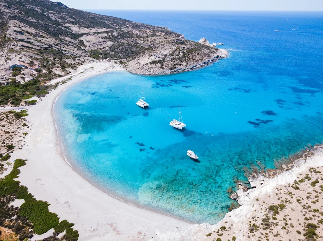
Photo by Derek Sutton on Unsplash
7-day Cyclades itinerary from Lavrion (with strong-wind options)
Day-by-day loop: Kea/Kythnos to Paros/Naxos (fair-weather)
This Cyclades sailing itinerary 7 days assumes a “normal” Meltemi pattern, roughly 15–25 kt, and early departures. The rule is simple: get your exposed water done before lunch, then spend afternoons anchored or snug in port while the breeze shows off.
| Day | Fair-weather plan (15–25 kt) | Approx nm | Underway at ~6 kt (hrs) | Notes |
|---|---|---|---|---|
| 1 | Lavrion → Kea (Korissia/Vourkari) | 12–16 | 2.0–2.7 | Depart 0700–0900; easy first “crossing.” |
| 2 | Kea → Kythnos (Merichas) | 15–25 | 2.5–4.2 | Watch headlands; choose leeward coast where possible. |
| 3 | Kythnos → Serifos (or Sifnos if benign) | 20–35 | 3.3–5.8 | This can get lumpy fast in NW; reef early. |
| 4 | Serifos → Paros (or Antiparos) | 25–40 | 4.2–6.7 | Channel can be an acceleration zone; commit only on good morning. |
| 5 | Paros → Naxos (short hop) | 10–15 | 1.7–2.5 | A “recovery leg” and good provisioning day. |
| 6 | Naxos → Kythnos (longer return) | 35–50 | 5.8–8.3 | Only with a real window; otherwise break it up. |
| 7 | Kythnos → Lavrion | 20–30 | 3.3–5.0 | Start early; fuel and washdown before check-out. |
Those 35–50 nm days are the trap: on paper it’s a long but reasonable run; in chop, with reefs and tacks, it can become an endurance event. If your crew is not enthusiastic about 6–8 hours underway, don’t “hope” it works—build in a stop, or give yourself 10–14 days.
Bailouts and ‘stay-put’ ports for 25–30+ kt forecasts
When Poseidon/HNMS shows 25–30+ kt and the leg is exposed or upwind, shift to a strong-wind plan: shorten hops, favor leeward coasts, and pick ports where you can sit out 24–48 hours without suffering. In practical terms, that means choosing islands/harbors with better protection and avoiding long channel crossings that turn into slam-fests.
In gusts, anchoring loads get spiky. Use a snubber/bridle to reduce shock loads and chain noise, and confirm your chain length before committing to deep bays; many charter boats carry 50–80 m of 10–12 mm chain, which disappears quickly in 8–10 m depth. If you’re stern-to in a gusty basin, rehearse the go-around; backing down into a crowded quay is not the time for silent, interpretive communication.
Alternative: Athens (Alimos) to Cyclades—when it makes sense
Can you do an Athens to Cyclades sailing route from Alimos? Yes, but you’re adding distance, time, and commitment on day one. You’ll also spend more time in high-traffic water, and your arrival time will slide into the afternoon build unless you leave very early and the checkout gods cooperate.
I’ll use Alimos for Cyclades when the charter fleet or logistics demand it, or when the plan is actually “Saronic plus a Cyclades taste” rather than a deep Cyclades loop. If Cyclades are the main goal, Lavrion to Cyclades itinerary planning simply gives you more margin for the same week—and margin is the only currency the Meltemi respects.
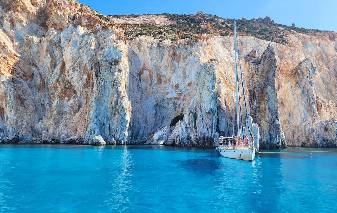
Photo by Derek Nielsen on Unsplash
Upgrade to 10–14 days: hybrid routes and weather-day design
Two-week pacing: build 2 ‘weather/rest’ days into the plan
A 10–14 day sailing Greece itinerary is where things start feeling like seamanship instead of survival. In July–August, I explicitly plan 1–2 weather days because strong patterns can park over the Aegean for 24–48 hours. If you’re pinned down, you want it to feel like the plan, not a failure.
The conservative Meltemi-season target is 15–30 nm/day, with bailouts every 10–15 nm in the Cyclades. Use the time rule: hours ≈ nm ÷ 6 kt, then add a real margin for tacking and sea state; a 25 nm “easy” leg can become a 5-hour grind when the bow is punching.
Route-planning method: distances, bailouts, and turning points
Two hybrids work well. Option A: Saronic warm-up (2–4 days) for systems and crew rhythm, then a Cyclades push when the forecast offers a window; you arrive in the Cyclades already sharp on Med-mooring and reefing. Option B: Cyclades first while everyone’s fresh, then finish in the Saronic where tired crews can still have pleasant short hops and easy provisioning.
Method-wise, choose turning points and decide your no-go criteria before the trip. Example: “If the morning update shows 25–30+ kt with an upwind channel crossing, we stay put or switch islands,” and everyone agrees while still calm. Measure your legs with a quick check of the nautical miles between ports, then pre-list two bailouts per day; it’s boring work that prevents exciting emergencies.
On weather days, plan shore-side activities and refuel/water opportunistically. With water tanks typically 300–500 L, four people using 15–30 L/person/day can burn 420–840 L in a week, so top-up whenever you can. A planned rest day that includes laundry, provisioning, and a real meal ashore keeps the crew happier than “we’re stuck… again.”
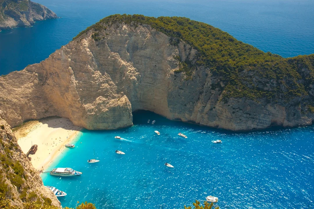
Photo by Andrey Shevard on Unsplash
Costs & logistics: charter budget, ports, fuel, and water
Total cost model: boat, crew, deposits, and variable spend
Greece isn’t the cheapest charter market anymore, but it’s still good value if you budget honestly. Fixed costs are the charter fee, end cleaning, and often a deposit or waiver; variable costs are fuel, ports, water, provisioning, and the occasional marina night when the Meltemi pins you down. In strong conditions you’ll motor more, and your “we’ll always anchor for free” plan often meets reality at 1700 in a crowded harbor.
Use fuel numbers like an adult: a 40–60 hp diesel burning 3–6 L/h means 10–20 hours of motoring can eat 30–120 L in a week, before dinghy and maneuvering. At €1.70–€2.20/L, that’s €50–€260+ depending on how sporty the weather gets and how allergic the crew is to upwind pounding.
Ports, shore power, and check-in realities in peak season
For a 12–14 m yacht, municipal quays often land around €10–€40/night, while full-service marinas can be €40–€120+/night depending on location and services. Shore power is generally 230V/50Hz, and 16A pedestals are common (sometimes 32A), so bring the right adapters and don’t assume your boat can run everything at once. If you need serious battery charging or refrigeration support, marina nights may be a deliberate choice, not a splurge.
Also plan time: check-in/out admin and any harbor authority steps can cost 30–90 minutes on busy days. That time matters most on day one and the final return, when you’re also refueling, queuing, and trying not to be “that boat” blocking the fuel dock.
| Budget line item (high season) | 7 days (typical ranges) | 14 days (typical ranges) | Notes |
|---|---|---|---|
| Bareboat mono 36–41 ft | €3,000–€6,500 | €6,000–€13,000 | Weekly pricing; shoulder season can drop significantly. |
| Bareboat mono 42–46 ft | €5,500–€10,500 | €11,000–€21,000 | Bigger boats often mean higher marina fees too. |
| Catamaran 40–45 ft | €7,000–€16,000+ | €14,000–€32,000+ | Comfort upwind improves; windage at quays gets “exciting.” |
| Skipper (optional) | €1,260–€1,750 | €2,520–€3,500 | €180–€250/day + food/cabin. |
| Hostess/cook (optional) | €1,050–€1,400 | €2,100–€2,800 | €150–€200/day + food/cabin. |
| End cleaning | €120–€250 (mono) | €120–€250 (mono) | Catamarans often €200–€350. |
| Deposit / waiver | €2,000–€5,000 / €250–€600 | €2,000–€5,000 / €500–€1,200 | Waiver varies by company/boat. |
| Ports & marinas | €70–€300 | €140–€600 | Quays €10–€40/night; marinas €40–€120+/night. |
| Fuel | €80–€260+ | €160–€520+ | Depends heavily on Meltemi and motoring hours. |
| Provisioning (4 people) | €250–€450 | €500–€900 | Dining out and alcohol swing this fast. |
Med-mooring, anchoring, and charter checks for Meltemi
Med-mooring workflow in crosswinds: roles, comms, and retries
Stern-to Med mooring is routine in Greece, but in 20–25 kt gusts it’s a team sport. Brief roles before you enter: helm, bow (anchor control), stern lines, and fenders/boathook. I like simple comms: one person talks to the helm, everyone else stays quiet unless it’s safety-critical.
Sequence in gusts: set fenders early, prep two stern lines outside everything, and approach slowly with a clear abort lane. Drop anchor with enough chain to hold position, then reverse under control; if you’re not lined up, go forward, reset, and try again. The only embarrassing thing is refusing to retry while you drift toward someone’s teak platform.
Anchoring math: scope, chain length, snubbers, and swing limits
Scope is where most charter anchoring goes wrong. In crowded harbors, 4:1–5:1 scope may be all you can fit; in open anchorages with room, go toward 7:1 when it’s windy or rolly. Remember the depth is waterline-to-bottom, not what the cockpit gauge suggests, and 6–8 m in a Cycladic harbor gets big fast when you add freeboard.
Typical charter ground tackle might be 50–80 m of 10–12 mm chain with a 16–20 kg anchor on a 40–45 ft monohull—verify what you actually have at handover. Use a snubber/bridle to reduce shock loads and keep the chain from sawing at the bow roller in gusts. Once set, load the anchor up in reverse and do a quick bearing check; if it’s sketchy, reset before the harbor fills.
Standards-based handover checks: ABYC/ISO concepts that matter
Charter handovers are fast, so check what actually prevents trip-ending drama. For bilge pumping, think in ABYC H-22 terms: confirm the pump works, the float switch works, and you know where the manual pump handle lives. For fuel, ABYC H-33 concepts apply: locate shutoffs, inspect obvious hose chafe, and learn the filter change procedure or at least the “call base now” thresholds.
For electrics and shore power, keep ABYC E-11 / ISO 10133/13297 concepts in mind: proper connections, dry plugs, no homemade adapters, and don’t overload a 16A pedestal. Stability and design category (ISO 12217/CE) isn’t a permission slip, but it’s a reminder that an “offshore-ish” Aegean leg still needs conservative choices. Add SOLAS V habits—weather checks, passage plan, and lookout—and you’ll look like a pro even if you feel like you’re improvising.
Tip box (handover priority): Before leaving the dock, verify anchor operation, chain markings/length, bilge pumps, engine cooling water flow, and shore power behavior. Those five items decide if your week is fun or educational.
Frequently Asked Questions
For a 40–45 ft charter monohull, how do you calculate safe anchor scope in a 6–8 m Cycladic harbor when you only have 50–60 m of chain and limited swing room?
Start with scope = rode length ÷ (depth + bow height), using real depth at the bow, not just the sounder aft. In 6–8 m, adding roughly 1–1.5 m bow height gives 7–9.5 m effective; with 50–60 m chain that’s about 5:1–7:1 on paper, but swing room often forces 4:1–5:1. In tight harbors, set carefully (reverse load-up), use a snubber, and if you can’t get a confident set, move—crowded water is not where you “hope it bites.”
What routing changes reduce time beating into 25–30+ kt Meltemi in the central Cyclades—clockwise vs counterclockwise loops, and which legs become acceleration-zone ‘traps’?
With the dominant N–NW Meltemi, aim to structure legs so you’re reaching or on a manageable close reach rather than a straight beat. Clockwise vs counterclockwise depends on your island choices, but the principle is consistent: avoid committing to crossings that put you dead upwind through gaps where wind accelerates. The “traps” are the channels between islands and around headlands where a 25 kt forecast turns into 30–35 kt gusts and steep chop, which slows you dramatically even if the nm look modest.
How should you build a fuel plan for a Lavrion–Cyclades week if you may motor 10–20 hours in chop (3–6 L/h) and your tank is 160–250 L—what reserve is prudent?
Calculate worst-case first: 20 hours × 6 L/h = 120 L, then add maneuvering and contingency. If your tank is 160–250 L, keep a reserve you won’t touch—commonly 20–30%—because weather diversions and failed anchoring attempts burn fuel fast. I plan to refuel earlier than “necessary,” especially before a forecast increase, and I use estimate your fuel needs based on the voyage distance to convert detours into realistic motoring hours.
What is the best forecast update cadence using Poseidon/HNMS + onboard observations to decide on a morning channel crossing (e.g., depart 0700–0900) versus a lay day?
Check Poseidon/HNMS the evening prior to identify the risky window and your alternate harbor. Update again at 0600–0700, then reassess right before departure with real observations: whitecaps, wind sound in rigging, cloud lines over channels, and how the boat lies at anchor. If the update shows 25–30+ kt for an exposed or upwind leg, that’s a clean trigger for a reroute or lay day; decide early, not halfway across.
On 230V/50Hz Greek shore power (16A typical), what charging and appliance loads commonly trip pedestals on charter yachts, and what ABYC E-11/ISO practices reduce risk?
The usual pedestal-trippers are high-draw loads stacked together: battery chargers/inverters bulk-charging, electric water heaters, air conditioning (where fitted), and sometimes kettles or cooktops. On 16A at 230V, you’re working with roughly 3.6 kW total, and that’s before voltage drop and marina variability. Use ABYC E-11 / ISO 13297 habits: dry, intact connectors; proper-rated shore leads; no jury-rig adapters; and manage loads deliberately—turn big consumers on one at a time and confirm the system is stable.
If you want one practical takeaway: pick Saronic for shelter and skill-building, pick Cyclades for the iconic island-hopping—then plan for the Meltemi first. Distances in nm, exposure to acceleration zones, and your systems discipline (reefing, ground tackle, fuel/water) will decide your success far more than the island wish-list.
About the Author
Related Articles
Sailing Amalfi Coast Guide: Ports, Anchorages & Rules
Sailing Amalfi Coast guide to Capri, Positano & Amalfi: best ports, anchorages, fees, VHF and rules. Plan your route—read now.
By Breezada Team
Dry Tortugas Sailing: Routes, Anchoring & Permits
Plan Dry Tortugas sailing from Key West with routes, weather windows, anchoring/moorings, and permits. Read the guide and plan your trip.
By Breezada Team
Sailing Galapagos Islands: Permits, Costs & Rules
Understand sailing Galapagos Islands permits, costs, and rules—plus clear-in steps, routes, and biosecurity. Plan your yacht trip now.
By Breezada Team
La Maddalena Sailing Itinerary: Quiet 7-Day Sardinia
Plan a La Maddalena sailing itinerary for a quiet 7-day Sardinia escape—routes, anchorages, rules and costs. Get the full day-by-day plan.
By Breezada Team