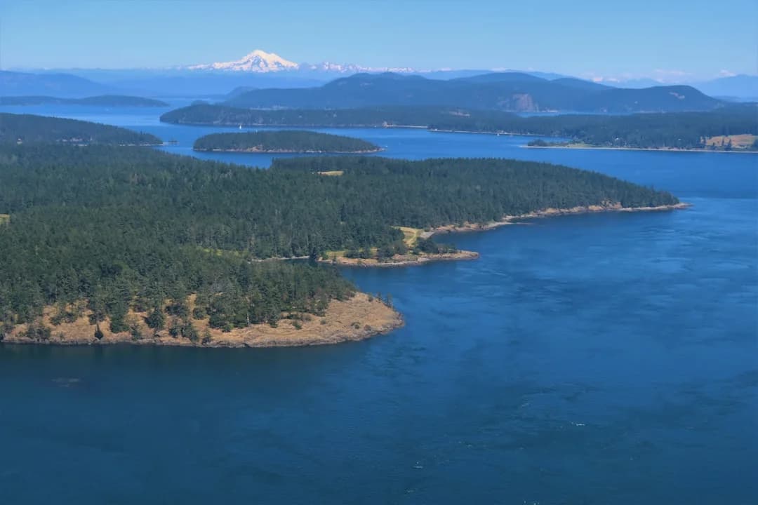
Sailing San Juan Islands Itinerary: 7 Days From Anacortes (With Tides, Currents, and Realistic Days)
The San Juans reward crews who plan around water movement, not just nautical miles. You can have a “short” 18 nm leg that turns into a long day if you punch 3 knots of adverse current in Thatcher Pass. Build your week around current windows, protected anchorages, and a couple of strategic marina nights, and you’ll spend more time hiking and grilling than grinding into chop.
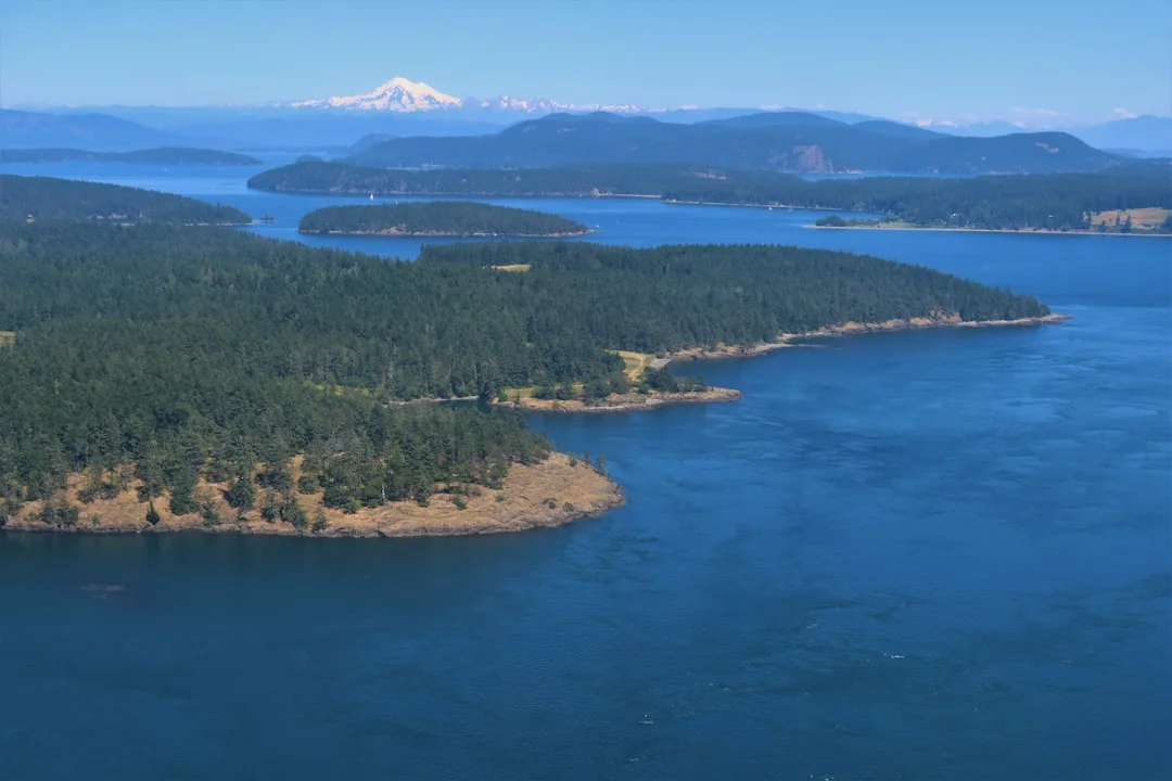
Photo by Chris Linnett on Unsplash
Overview & Planning Assumptions (Anacortes Base, Boat, Timing)
Start/finish logistics: Cap Sante vs Skyline in Anacortes
Most 7-day bareboat weeks start at Cap Sante Marina or Skyline Marina in Anacortes, and that choice matters mainly for your first and last hour. Cap Sante is close to town services and feels less “driveway to dock,” while Skyline is convenient for quick departures toward Guemes Channel and Rosario Strait. From Seattle to Anacortes is about 80–90 miles, usually 1.5–2.0 hours depending on traffic and your luck with I-5.
Plan to arrive early enough to do the unglamorous work: stow gear, run the inventory, and check the engine and ground tackle. If you shove off at 1600 because you “lost time in the grocery store,” your first anchorage choice gets smaller fast. The San Juans are forgiving—right up until they aren’t.
Assumed boat profile: 34–45 ft charter monohull
This itinerary assumes a typical charter monohull in the 34–45 ft range with a decent autopilot, a reliable diesel, and ground tackle that’s good but not magic. Many boats in this class carry something like a 25–35 lb (11–16 kg) primary anchor and 150–250 ft of rode/chain, which is fine if you calculate scope like an adult. Water tanks are commonly 30–60 gallons, and that becomes your schedule more than your fuel burn.
The comfort target here is simple: avoid routinely fighting 2–3+ kt currents in passes, sleep in protected water, and keep alternate anchorages within 5–10 nm if the first choice is full. That’s what “comfortable” means in the San Juans—less drama, more daylight.
Itinerary math: speed, currents, and realistic day plans
Use 5.5 kt as a baseline planning speed for average speed-over-ground (SOG) in protected water, then adjust in the choke points. In Rosario Strait, Thatcher Pass, and Cattle Pass, current can easily swing ±2–3 kt, which turns a 5.5 kt plan into 3.0 kt misery or 8.0 kt glory. Most relaxed days land in the 10–25 nm range, which is roughly 2–5 hours underway before you add sail handling, docking, and “why is the dinghy pump missing” time.
If you want help sanity-checking distances and times, check the nautical miles for your planned route for quick route comparisons and for building a leg list you can actually stick to. I still do the current math separately, but having accurate distances keeps the rest honest.
What to have aboard: charts, guides, and comms
Carry the right chart coverage, even if you love your chartplotter. NOAA 18421 is a common staple for the San Juan Channel/Haro Strait area, but you’ll likely need adjacent coverage for Rosario Strait approaches and wherever you roam on day 3 when someone says, “What’s over there?” Bring a tide/current reference (paper or app), because “we’ll just eyeball it” is not a current plan.
On the radio side: keep a listening watch on VHF Ch. 16, and use Ch. 13 for bridge-to-bridge with commercial traffic when needed (standard U.S. practice). If your boat has AIS, use it—then still look outside, because the ferries don’t care about your optimism.
7-Day Itinerary from Anacortes (Miles, ETAs, Alternates)
Day-by-day route logic: clockwise vs counterclockwise loop
This is a current-timed loop that starts and ends in Anacortes and keeps legs mostly 10–25 nm. I generally prefer a clockwise feel (up the east side, then work back down), because it sets you up for favorable windows in common passes without boxing you into one exact tide. The counterclockwise version is fine too—just be more deliberate about Rosario Strait timing and where you plan your marina nights.
Use plan your route using a sea distance calculator to build your own leg distances quickly, then apply the “pass penalty/bonus” based on predicted currents. That two-step method beats guessing, and it makes it obvious when a “short” day is actually a trap.
Current-timed choke points: Thatcher Pass and Cattle Pass
Two places routinely change the whole day: Thatcher Pass and Cattle Pass, where currents can hit 2–3+ kt on spring tides. If your boat speed is 5.5 kt and you take a +2.5 kt push, your SOG becomes 8.0 kt; take -2.5 kt and you’re crawling at 3.0 kt. That’s not theory—those numbers show up in your arrival time and your crew morale.
Treat those transits like appointments, not suggestions. A 45-minute timing miss can be the difference between a clean ride and a sloppy wind-against-current mess.
7-day route (with miles, time windows, and alternates)
Below is a workable week that keeps options open and includes two planned marina stops for showers, pump-out, and resupply. ETAs assume 5.5 kt baseline SOG, with an alternate “fair current” and “adverse current” scenario on key pass days.
| Day | Route (Primary Plan) | NM (approx.) | Underway @ 5.5 kt (no current) | Fair-current window (example SOG) | Adverse-current window (example SOG) | Good alternates (bailouts) |
|---|---|---|---|---|---|---|
| 1 | Anacortes → Lopez (Fisherman Bay) | 12–18 | 2.2–3.3 hr | 6.5–7.5 kt if pushed in channels | 4.0–5.0 kt if opposed | James Island / Spencer Spit |
| 2 | Lopez → Orcas (East Sound) | 10–16 | 1.8–2.9 hr | 6.5–8.0 kt if timed through Thatcher | 3.0–4.5 kt if you miss | Doe Bay / Rosario Resort area (as allowed) |
| 3 | Orcas → Friday Harbor (marina night) | 14–20 | 2.5–3.6 hr | 6.0–7.5 kt in San Juan Channel | 4.0–5.0 kt with adverse set | Blind Bay / Shaw Island coves |
| 4 | Friday Harbor → Stuart (Prevost Harbor or Reid Harbor) | 12–18 | 2.2–3.3 hr | 6.0–7.0 kt if you ride Haro | 4.0–5.0 kt if you fight it | Spieden Channel anchorages (conditions-dependent) |
| 5 | Stuart → Roche Harbor (marina night) | 8–12 | 1.5–2.2 hr | Less current sensitivity | Less current sensitivity | Garrison Bay / nearby coves |
| 6 | Roche → Lopez/Shaw (anchorage) via Cattle Pass timing | 18–25 | 3.3–4.5 hr | 7.0–8.0 kt with a push in Cattle | 3.0–4.0 kt if you hit max adverse | Parks closer to San Juan Channel |
| 7 | Lopez/Shaw → Anacortes | 15–22 | 2.7–4.0 hr | Favorable Rosario set helps | Adverse Rosario set slows | Cypress/Guemes short final night if needed |
A lot of charter crews ask about Deception Pass. It’s spectacular, but it’s also a place where spring currents are often 6–8+ kt in the tables, and the margin for casual timing is thin. Unless your crew is confident and your timing is precise, keep Deception Pass as a future trip, not a checkbox this week.
Provisioning and pump-out opportunities midweek
Friday Harbor and Roche Harbor are the easiest midweek “reset buttons.” Plan on a pump-out costing $5–$25 (sometimes included with moorage), top up water (remember the 30–60 gal tank reality), and do one real garbage run. If you’re trying to stay mostly on the hook, those two marina nights buy you comfort without turning the trip into a dock tour.
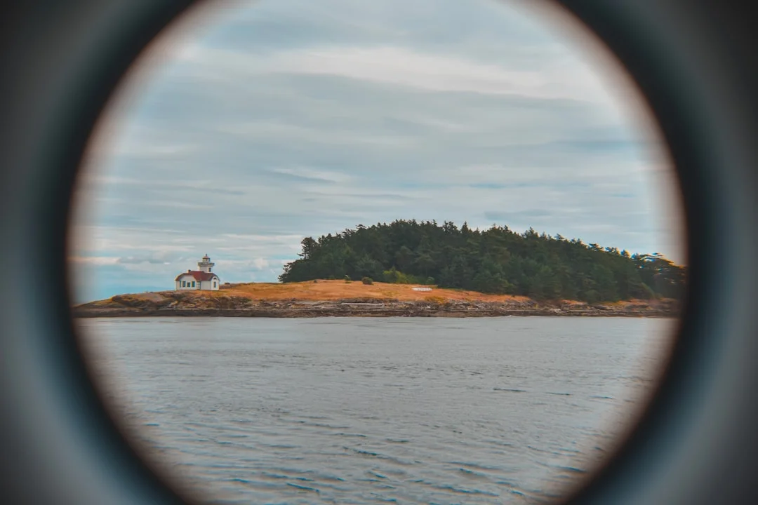
Photo by Lorin Lindell on Unsplash
Anchorages, Mooring Buoys & Marine State Parks (What Works)
Anchorage selection: protection, fetch, and holding
The best San Juan anchorages are boring in all the right ways: protected from prevailing summer winds, enough room to swing, and bottom that actually holds. Many basins you’ll use sit in 15–40 ft of water, which is manageable if you plan scope correctly and don’t anchor on the edge of a kelp bed. I like anchorages that have a clear “plan B” within 1–2 boat lengths of a better spot if your first drop lands on rock.
Protection matters more than distance here. A 12 nm day that ends in a calm cove beats a 20 nm day that ends with rolly sleep and grumpy coffee.
Depth, scope, and swing-radius checks (anchoring math)
Use real numbers, not vibes. A baseline is 5:1 scope for lunch or settled weather, and 7:1 overnight when room allows, especially if a 15–25 kt breeze is possible. Worked example: 25 ft depth + ~5 ft bow height = 30 ft, and at 5:1 you want 150 ft of rode (30 × 5).
Then check swing radius: a practical approximation is rode length + boat length. If you’re on 150 ft of rode with a 40 ft boat, assume about 190 ft swing radius and verify clearance for low water and neighbor scope changes. In the San Juans, kelp and rock edges can turn “good enough” into “why are we dragging at 0200” fast.
Mooring buoys: pickup technique and overnight rules
Washington Marine State Parks buoys are a gift when they’re available, and they’re often priced around $15–$25/night depending on the park and season. Approach slowly into the wind or current at 0.5–1.5 kt, pick up the pendant with a boat hook, and rig chafe protection where it passes your bow chock. I like a short backup line to a second cleat; it’s cheap insurance, and it quiets the boat down.
Treat buoys like anchoring: confirm you’re not overhanging another buoy field lane, and keep an eye on wind shifts. Also, don’t assume a buoy is “empty” just because you don’t see a boat—some crews pick up late.
Dinghy landings: tidal range and shoreline exposure
Tidal range in summer is often around 6–12 ft, depending on the cycle and location, and it will change your dinghy plan. A beach landing that looks perfect at mid tide can become a mud march at low water, or it can float your dinghy off with the painter still tied to a rock you can’t reach anymore. If you’re near a day-use lot, remember many require a Discover Pass—about $10/day or $30/year for parking.
No-discharge expectations are serious in these high-use coves. Use your marine head properly, keep the deck pump-out fitting accessible, and don’t be the boat everyone remembers for the wrong reason.
Photo by Ryan Stone on Unsplash
Practical tip: Before committing to an anchorage, do three quick checks: bottom type/contours on the chart, expected wind direction overnight, and your swing radius (rode + boat length) at low water. That 60-second routine prevents most midnight “re-anchoring adventures.”
Tides & Currents in the San Juans (Timing Windows, Not Guesswork)
How to read NOAA tide vs current predictions (and what can differ)
Tide height and current velocity are related, but they are not interchangeable. Tide predictions tell you whether you’ll have 6 ft or 12 ft less water under the keel at low tide, which matters for shoreline exposure and dinghy landings. Current predictions tell you whether you’ll gain or lose 2–3+ kt in the passes, which matters for control, comfort, and making your ETA before the buoy field fills.
Also remember the fine print: current stations are predictions at a specific point, and real set/drift can differ due to wind, barometric pressure, and local effects. Use the tables, then confirm underway by watching SOG, COG, and what the water is actually doing around you.
Rosario Strait and Haro Strait: set/drift expectations
Rosario Strait is where your schedule can get mugged. On springs, currents often exceed 2–3 kt, and when wind opposes current you get short, steep chop that can make a 34–45 ft charter boat feel smaller than the brochure promised. Haro Strait adds commercial traffic and a more “big water” feel, where you should expect set that pushes you sideways during shipping lane crossings.
A high-risk scenario I see often: a crew aims at a waypoint across a lane, but the current sets them down-lane, increasing crossing time and messing up the crossing angle. Build in compensation—steer for a course that accounts for drift, not the track you wish you had.
Thatcher Pass and Cattle Pass: transit timing and comfort
Thatcher Pass and Cattle Pass are the two “appointment” transits in a lot of 7-day weeks. If the pass is flowing +2.8 kt and your boat makes 5.5 kt, your mid-transit SOG can be 8.3 kt, and the boat feels like it’s on rails. Hit it at -2.8 kt, and your SOG drops to 2.7 kt, which turns a short transit into a long slog with more helm time and less fun.
My rule of thumb: once predicted current is 2 kt, I plan; once it’s 3 kt, I plan aggressively. If wind is 15–20 kt against that current in a narrow pass, expect tide rips and a wet ride, especially if you’re motor-sailing into it.
Deception Pass: why many charter routes skip it
Deception Pass can show 6–8+ kt on spring tides in the tables, and those numbers aren’t there for decoration. Strong current accelerates through the narrows, and the standing waves when wind opposes flow can be unpleasant at best and unsafe if you arrive at max. Many charter itineraries avoid it unless the skipper is confident, the timing is precise, and the crew is ready for tight piloting.
If you want the experience without the commitment, go look at it from the bridge on a non-sailing day. You’ll learn plenty, and your crew won’t have to eat lunch while bracing their knees.
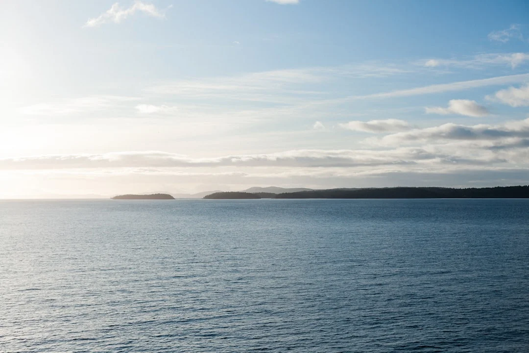
Photo by Jake Warren on Unsplash
Navigation Hazards, Traffic & Seamanship (Charts, Fog, VHF)
Shipping lanes and crossings: Haro Strait awareness
Haro Strait and its approaches have real commercial traffic, and it’s not there to admire your sail trim. Treat crossings like you’re crossing a highway with trucks that can’t brake fast and don’t swerve. Under COLREGS/Inland Rules, you still have responsibilities for proper lookout, risk of collision assessment, and early, substantial action.
Cross at as close to 90° as practical to minimize time in the lane, and factor set/drift so your track doesn’t slide along the lane. AIS helps, but don’t use it as permission to stop looking outside.
Rocks, reefs, kelp, and unlit hazards: piloting discipline
The San Juans punish sloppy zoom levels. If you build a route on a wide zoom and then follow the magenta line, you can absolutely “route-through-rocks” in places with reefs and kelp edges. Keep your chart detail appropriate, place waypoints that clear hazards by conservative margins, and verify with eyeballs and depth sounder in the last 0.5 nm into an anchorage.
Kelp beds deserve respect. They’re often a clue to shallow rock edges, and they can foul props if you motor too close at low speed.
Fog and restricted visibility: conservative operating plan
Fog happens, especially mornings, and it can turn a familiar channel into a featureless gray hallway. The safe-speed concept in the Navigation Rules isn’t optional; if you can’t stop or maneuver within the distance you can see, you’re going too fast. If you have radar and AIS, use both, but don’t let electronics talk you into pressing on when your crew is stressed.
If visibility is truly poor, delay departure and let the day warm up. The San Juans aren’t going anywhere, and neither is your vacation deposit—but only one of those is worth risking.
Radio procedure: when to use Ch. 16 vs Ch. 13
Keep VHF Ch. 16 on for distress and calling, and switch to Ch. 13 for bridge-to-bridge if you need to coordinate with a commercial vessel. If you call, be concise: identify the vessel (name from AIS if available), your position, your intention, and what you’re asking. Practice this before you need it; nobody sounds brilliant the first time they key the mic next to a ship doing 15 knots.
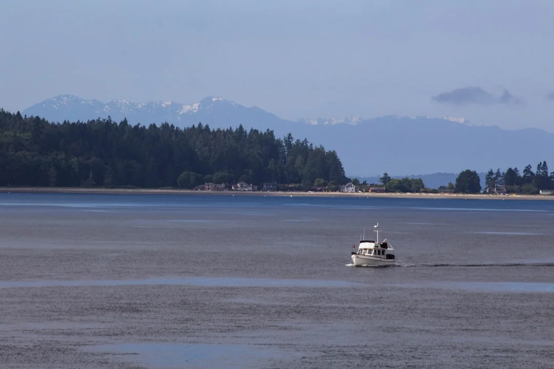
Photo by Ryan Stone on Unsplash
Costs & Logistics for a 7-Day Week (Charter, Moorage, Fuel)
Charter and skipper add-ons: what drives the weekly price
Peak summer bareboat rates in this region are commonly $4,500–$7,500/week for 34–37 ft, and $6,500–$11,500/week for 40–45 ft. Add-ons can move the number fast: an instructor/captain, if offered, often runs $350–$650/day, and you’ll see separate line items for damage waiver, linens, and “of course” fees. Budget a buffer for taxes and marina power charges, because the only thing consistent about cruising bills is that they’re never lower than you hoped.
Your controllable costs are mainly marina nights, dining, and how many hours you motor. Everything else is a rounding error compared to the charter contract.
Moorage vs buoys: picking a strategy for comfort and budget
Transient moorage commonly runs $2.00–$4.50/ft/night, plus power ($5–$20/night) and tax. Friday Harbor often lands around $2.00–$4.00/ft/night, so a 36 ft boat is roughly $72–$144/night before extras. Roche Harbor is often $2.50–$4.50/ft/night, so a 40 ft boat can be around $100–$180/night before extras.
State Park buoys/docks are typically $15–$25/night, and they’re a good deal if you don’t need showers and laundry. The trick is mixing them: two marina nights usually keeps the boat and crew in good shape without turning the trip into a reservation spreadsheet.
Fuel, water, pump-outs, and provisioning cadence
Diesel burn on auxiliary sailboats is often 0.4–1.0 gal/hr, so a typical 10–15 hours/week of motoring is about 4–15 gallons. With regional diesel around $5.50–$7.50/gal, that’s roughly $55–$75 for 10 gallons, or $165–$225 for 30 gallons if you want a bigger buffer. Use estimate your fuel needs based on the voyage distance to estimate motoring legs and refine fuel planning, especially if you expect calm afternoons or a crew that prefers punctual dinner over upwind tacking.
Water planning is where crews get surprised. With 30–60 gal tanks, a crew of 4 using 3–5 gal/person/day will burn 12–20 gal/day, meaning 2–5 days between refills depending on tank size and discipline. That’s why Friday Harbor midweek is more than a “nice town” stop.
Trip budget scenarios (table)
Here’s a practical comparison for a typical week, focusing on the knobs you can turn. These are estimates; your exact total depends on boat length, taxes, and how much your crew “accidentally” orders at dockside restaurants.
| Cost category (7 days) | Mostly anchor (2 marina nights) | Mostly marina (5 marina nights) |
|---|---|---|
| Marina moorage (36–40 ft @ $2.00–$4.50/ft/night) | $180–$360 (2 nights) | $450–$900 (5 nights) |
| Power add-on ($5–$20/night) | $10–$40 | $25–$100 |
| WA State Parks fees ($15–$25/night, 4–5 nights) | $60–$125 | $30–$50 |
| Fuel (diesel, $5.50–$7.50/gal) | $60–$150 (10–20 gal) | $100–$225 (15–30 gal) |
| Pump-outs ($5–$25 each) | $5–$25 (1×) | $10–$50 (1–2×) |
| Rough subtotal (excluding charter + provisioning) | $315–$700 | $615–$1,325 |
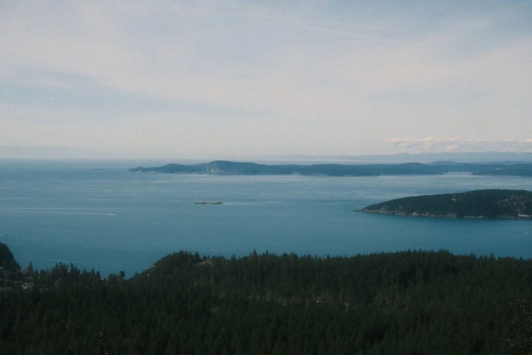
Photo by akhil s on Unsplash
Regulations, Customs & Best-Practice Checklists (USCG, ABYC)
USCG carriage and operational basics for charter crews
Charter boats should be equipped to meet U.S. requirements, but you’re still responsible for knowing what’s aboard and where it lives. The basics come from USCG regs (including 33 CFR 175/183) and the Navigation Rules (COLREGS/Inland Rules): proper PFD carriage, sound-producing device, required navigation lights, and appropriate fire extinguishers depending on the vessel. Before leaving the dock, verify the nav lights actually work and the horn isn’t buried under six life jackets and someone’s duffel.
On day 1, do a real safety brief. If your crew can’t point to the throwable, the fire extinguisher, and the VHF distress procedure in 60 seconds, you’re behind.
Electrical, LPG, and fuel safety: ABYC-informed habits
ABYC standards are not law, but they’re excellent guardrails for charter habits. For shore power, follow ABYC E-11 discipline: connect the cord firmly, check polarity/grounding indications if available, then energize. Many docks provide 30A/125V service; bring the right adapters (often 30A to 15A) and don’t stack a Christmas tree of questionable plugs.
For propane, think ABYC A-1 and H-41: sniff test, solenoid on only when cooking, and shut it off at the bottle when you’re done for the night. For diesel fuel handling (ABYC H-33 mindset), use absorbent pads and slow fills; a spill buys you paperwork and a bad reputation at the fuel dock.
No-discharge, pump-out etiquette, and park rules
The San Juans are high-use waters, and good sanitation isn’t optional. Use pump-outs routinely—budget $5–$25—and don’t wait until the holding tank is so full the vent burps when you heel. Respect posted park rules about anchoring, buoys, quiet hours, and shoreline protection.
Crabbing is popular, and so are crab pots. Keep a sharp lookout, especially in narrow channels, because a wrapped prop is a memorable way to practice patience.
Roche Harbor customs: when it matters and what to prepare
Roche Harbor is a common customs stop if your itinerary includes Canada. If you’re staying entirely U.S.-side, customs is usually irrelevant, but many crews like keeping the option open. Requirements can change, so verify current reporting procedures before departure, and have passports and vessel documents organized, not buried under a bag of tortilla chips.
Printable checklist: departure + daily shutdown
Print this, screenshot it, whatever works—just use it.
- Before leaving Anacortes: confirm charts (incl. NOAA 18421 + adjacent), tides/currents, anchor/rode length, nav lights, horn, engine fluids, bilge status, and VHF operation (16 watch, 13 bridge-to-bridge).
- Daily planning: choose anchorage first, then pick departure time to make Thatcher/Cattle Pass favorable when 2–3+ kt is predicted.
- Anchoring setup: compute depth + bow height, rig 150 ft ready if expecting ~25 ft depths, confirm swing radius at low tide.
- End of day: propane bottle off, shore power connected per ABYC E-11 habits when docked, holding tank status checked, dinghy secured for tide changes.
Frequently Asked Questions
For a 5.5 kt planning speed, how do you correct ETA through Thatcher Pass if the current prediction is +2.8 kt flood at mid-transit?
Add the current to your baseline to estimate SOG in the pass: 5.5 + 2.8 = 8.3 kt SOG during the strongest portion. If the pass segment is, say, 3 nm, time through it becomes 3 ÷ 8.3 ≈ 0.36 hr (~22 minutes) instead of 3 ÷ 5.5 ≈ 0.55 hr (~33 minutes). For a realistic ETA, apply the boost only to the portion affected by peak current, not the whole day.
What scope and swing-radius should a 40 ft monohull use in a 25 ft anchorage with 6–10 ft tidal range, and how much rode should be ready on deck?
Start with depth plus bow height: 25 ft + ~5 ft = 30 ft, then plan 5:1 minimum (150 ft rode) and preferably 7:1 overnight if room allows (210 ft rode). Add the 6–10 ft tidal range into your thinking by ensuring you still have adequate scope at high water and enough clearance at low water. Swing radius is roughly rode length + boat length, so expect about 190 ft at 150 ft rode, or 250 ft at 210 ft rode, and verify room accordingly.
Which current stations or prediction points best correlate to practical set/drift in Rosario Strait versus Cattle Pass, and how do you sanity-check them underway?
Use NOAA current predictions closest to your actual transit line: Rosario Strait behaves like a broad conveyor, while Cattle Pass is a narrow nozzle, so you want station data that matches the constriction. Underway, sanity-check by comparing SOG vs your expected speed through the water (e.g., 5.5 kt baseline) and watching COG for sideways set; if your bow is pointed where you want but your track is sliding, you’re seeing real drift. If the observed set differs meaningfully (say >1 kt) from predictions, revise your ETA and consider delaying a pass rather than forcing it.
In Haro Strait shipping lanes, what is the recommended VHF workflow (Ch. 16 watch, when to switch to Ch. 13) and what information should you transmit to a commercial vessel if needed?
Maintain a listening watch on VHF 16 for safety and calling, and switch to VHF 13 when you need bridge-to-bridge coordination with a ship. If you call, transmit: the ship’s name (AIS helps), your vessel name/type, your position (bearing/range to a known point works), your course/speed, and your intention (e.g., “crossing ahead/astern” and which side you’ll pass). Keep it short and professional; long speeches don’t improve safety.
What moorage budget should you expect for two nights at Friday Harbor and one night at Roche Harbor for a 36–40 ft boat, including typical $/ft ranges and power add-ons?
Friday Harbor is often $2.00–$4.00/ft/night, so a 36–40 ft boat is roughly $72–$160/night, and two nights runs $144–$320 before extras. Roche Harbor is often $2.50–$4.50/ft/night, so a 36–40 ft boat is roughly $90–$180/night. Add typical shore power $5–$20/night and taxes/fees, and a realistic three-night combined total commonly lands around $260–$560 before tax, depending on LOA and exact rates.
About the Author
Related Articles
Amalfi Coast vs French Riviera Sailing Guide (Costs & Routes)
Compare Amalfi Coast vs French Riviera sailing—costs, crowds, mooring rules, best months, and 7-day routes. Choose your coast and plan now.
By Breezada Team
Puget Sound Cruising Guide to Gulf Islands Routes
Plan routes, anchorages, and weather windows with this Puget Sound cruising guide for the Gulf Islands & San Juans. Read now and start plotting.
By Breezada Team
Sailing Amalfi Coast Guide: Ports, Anchorages & Rules
Sailing Amalfi Coast guide to Capri, Positano & Amalfi: best ports, anchorages, fees, VHF and rules. Plan your route—read now.
By Breezada Team
Dry Tortugas Sailing: Routes, Anchoring & Permits
Plan Dry Tortugas sailing from Key West with routes, weather windows, anchoring/moorings, and permits. Read the guide and plan your trip.
By Breezada Team