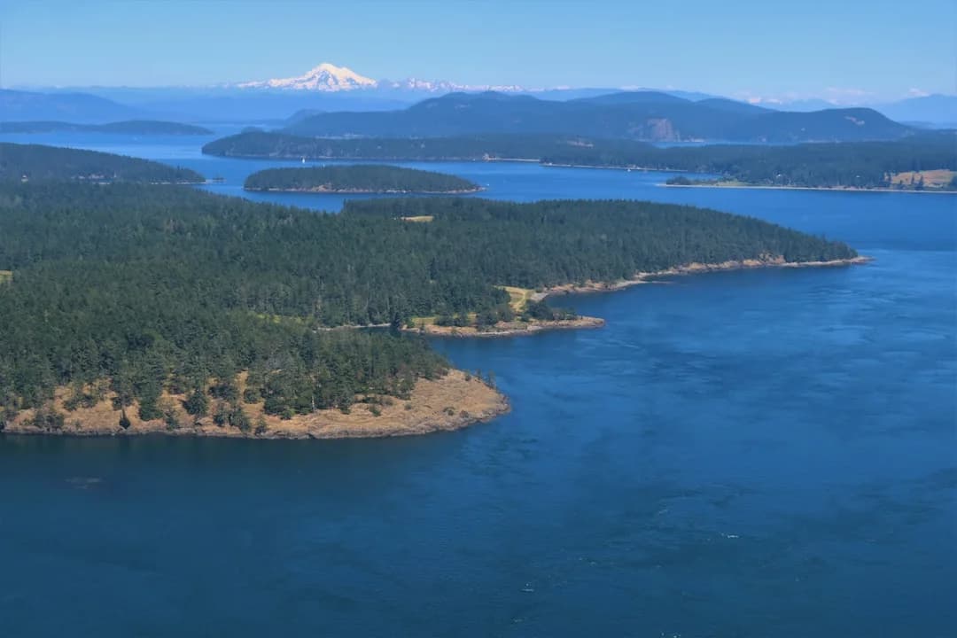
Sailing the San Juan Islands: Routes, Tides, Moorings
The San Juans reward skippers who treat currents like a schedule, not a footnote. You can have a perfectly good 6 kt cruiser and still get humbled by a 3 kt foul stream that turns your “easy hop” into a late, cranky arrival. Plan around the current gates, arrive early, and keep at least one Plan B anchorage every day.
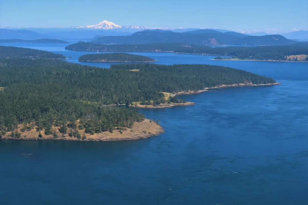
Photo by Chris Linnett on Unsplash
Planning Overview: Seasons, Wind, and Realistic Day Runs
Seasonality and crowd patterns (June–August vs shoulder season)
Peak season is June through August, and it’s not subtle. Mid-summer gives you close to 16 hours of daylight around late June, which makes longer legs tempting, but the marinas fill fast and the popular coves turn into musical chairs by mid-afternoon. Friday Harbor in particular often feels “full” after 1500, even when the docks technically aren’t.
Shoulder season (May, September, early October) is calmer, cheaper, and often better sailing. The trade is daylight and weather margin: those long evenings compress, and your “arrive before dark” window can shrink by 2–3 hours compared to late June. Bring warmer layers and an earlier alarm clock.
Wind/currents interplay: why timing beats raw speed
The San Juans are a current-gated cruising ground. A couple of choke points—Cattle Pass, Boundary Pass edges, and (if you’re coming via Whidbey) Deception Pass—decide whether your day is pleasant or punishing. When the afternoon westerly pipes up to 15–20 kt and it’s opposing current, the chop gets steep enough to rattle your fillings loose.
This is why “average speed” is a lie unless you include current. A boat that motors at 6 kt can make 8 kt over ground with a fair push, or 3–4 kt with a foul one. If your plan depends on winning that math fight, it’s not a plan.
Distance planning in NM: setting daily targets for 5–7 kt boats
For most cruising boats, assume 5–7 kt under power and treat any adverse current over 2–3 kt as a schedule risk. A simple example: 24 NM at 6 kt ≈ 4 hours, then adjust for set and drift. If you’re bucking 2 kt for half the leg, you’ve effectively added about 30–40 minutes, plus the extra fuel you didn’t want to burn.
Use nautical miles and knots, not “it’s about an inch on the chart.” Plan your route using a sea distance calculator is handy here: build legs in NM, then convert to time with your realistic cruising speed and a current adjustment. Do it before you cast off, not while you’re trying to read a screen in spray.
Chart datum vs tide height basics (anchoring and dinghy access)
Tide height is vertical water level; currents are horizontal flow. They’re related, but planning one doesn’t automatically plan the other. In the San Juans, tidal range is often ~6–12 ft, and that’s how you end up with a “great beach landing” at 2000 that becomes a mud-wrestling event at 0600.
Charts are referenced to chart datum (usually a low-water reference). If the chart says 10 ft and the tide prediction says +8 ft, you have 18 ft under you—until it drops again. That matters for anchor scope calculations and for whether your dinghy will still float at the dock at low water.
Practical tip: In the San Juans, I plan to be tied up, on a buoy, or anchored by 1400 in peak season. That single habit solves more problems than any gadget.
Photo by Lorin Lindell on Unsplash
Best San Juan Islands Sailing Routes from Anacortes (3, 5, 7 Days)
3-day “core loop”: one town stop + one park night
A reliable 3-day loop is Anacortes → Friday Harbor → Spencer Spit (or a nearby park/buoy field) → back to Anacortes. The opening leg to Friday Harbor runs about 22–25 NM, which is a clean 4 hours at 6 kt before current adjustments. If you want a transient slip in peak season, aim to be approaching by 1100–1300, not “sometime this afternoon.”
Night two at a state marine park keeps the budget sane and the crew happier. Spencer Spit is a common choice because the holding is usually straightforward and the mooring buoys remove the anchoring gymnastics in crowded conditions. Keep an eye on posted buoy limits; some parks list max LOA around ~40 ft.
5-day loop: add north-islands solitude (Sucia/Stuart)
For 5 days, I like to push north early and use the quiet islands to offset the town crowds. Anacortes → Sucia (Echo Bay) is roughly 20–24 NM, which is a friendly first day if you leave with the morning calm. Then hop to Stuart Island (Reid Harbor) for another protected night, and only then drop into Roche Harbor or Friday Harbor for the inevitable fuel, pumpout, and groceries.
The key is not stacking “hard days” back-to-back. Build one short repositioning day—Friday Harbor to Roche Harbor is only 9–10 NM—so you can time a gate or wait out a wind-opposed current without blowing the whole itinerary.
7-day loop: build in weather days and alternate gates
A 7-day plan should include at least one “weather day” because the Strait-adjacent edges can turn sporty fast. Use that day to explore ashore, wait for a favorable current in Cattle Pass, or simply not motor into a miserable square chop. If your plan assumes you must move every day, you’ll move on bad days too.
A sensible week often looks like: Anacortes → Sucia → Stuart → Roche → Friday Harbor → park/anchorage night → Anacortes. It’s not the only way, but it balances services, solitude, and manageable day runs of 10–25 NM.
If you miss the window: bailout harbors and re-route logic
Missing a current gate happens to everyone. The trick is to pre-decide the bailout so you don’t start making bad choices at 1700. If Friday Harbor is full, shift to a park buoy field, anchor nearby where permitted, or pivot to Roche if the stream and daylight allow.
Plan with “sea distance + time + current,” not straight-line miles. Calculate the distance between ports helps you sanity-check alternates quickly: if the bailout adds 6–10 NM, that’s often the difference between arriving in daylight and arriving with the headlamp in your teeth. If you’re routinely arriving late, shorten your legs or leave earlier—your future self will be less irritated.
Photo by Jake Warren on Unsplash
Tides & Currents Deep Dive: Deception, Cattle, Boundary Pass
How to read NOAA Tide Predictions and Tidal Current Tables
Use NOAA Tide Predictions for water level and NOAA Tidal Current Tables for horizontal flow. They are different products, and treating them as interchangeable is how skippers end up clawing into a pass at 2 kt over ground wondering what went wrong. Workflow: pick the specific station for the pass, note max flood/ebb, and plan to arrive near slack or with a favorable push.
Current predictions are location-specific. A nearby station can be out of phase by 30–60 minutes, and strength can differ by 1–3 kt, especially around points and constrictions. Cross-check with your plotter’s current arrows if you have them, but don’t let the electronics talk you into ignoring NOAA.
Deception Pass: why slack timing is non-negotiable
Deception Pass is the heavyweight. During spring tides, currents routinely exceed 6 kt, and peaks can approach ~8 kt. If you hit it wrong, you may not make headway, and the standing waves can get ugly in a hurry. For most cruising boats, this isn’t a “power through it” situation; it’s a “show up at the right time” situation.
A conservative rule is to aim for published slack, with arrival 15–30 minutes early so you’re not forced to rush a narrow approach. If you’re late by 20 minutes on a strong spring exchange, conditions can be materially different. It’s one of the few places where my default advice is: if you’re uncertain, wait.
Cattle Pass: tide rips, overfalls, and wind-opposed flow
Cattle Pass is less dramatic than Deception, but it’s far more likely to bite you because it sits on common itineraries. When current opposes wind—particularly with 15–20 kt westerlies—expect tide rips and overfalls on the west side of San Juan Island. The boat will hobby-horse, the autopilot will complain, and the crew will start questioning your leadership.
Plan to transit near slack or with favorable current when the forecast is stiff. If you must go in wind-opposed conditions, reduce sail early, secure the galley, and be honest about your comfort threshold. Comfort is a safety factor; seasickness and fatigue don’t improve decision-making.
Boundary Pass/strait edges: steep chop, set, and leeway management
Boundary Pass and the Strait edges add another layer: stronger winds and a steeper sea state. This is where set and leeway become real, especially if you’re sailing and trying to lay a course across current. A 1–2 kt cross-set over 2 hours can move you 2–4 NM sideways—enough to matter near reefs and traffic lanes.
Give yourself room and use clear waypoints that keep you off the margins. Don’t “cheat the corner” along rock-strewn shorelines to save 0.3 NM; it’s a lousy trade. And if visibility drops, remember COLREGS/ 33 CFR 83: safe speed, sound signals, and no bravado.
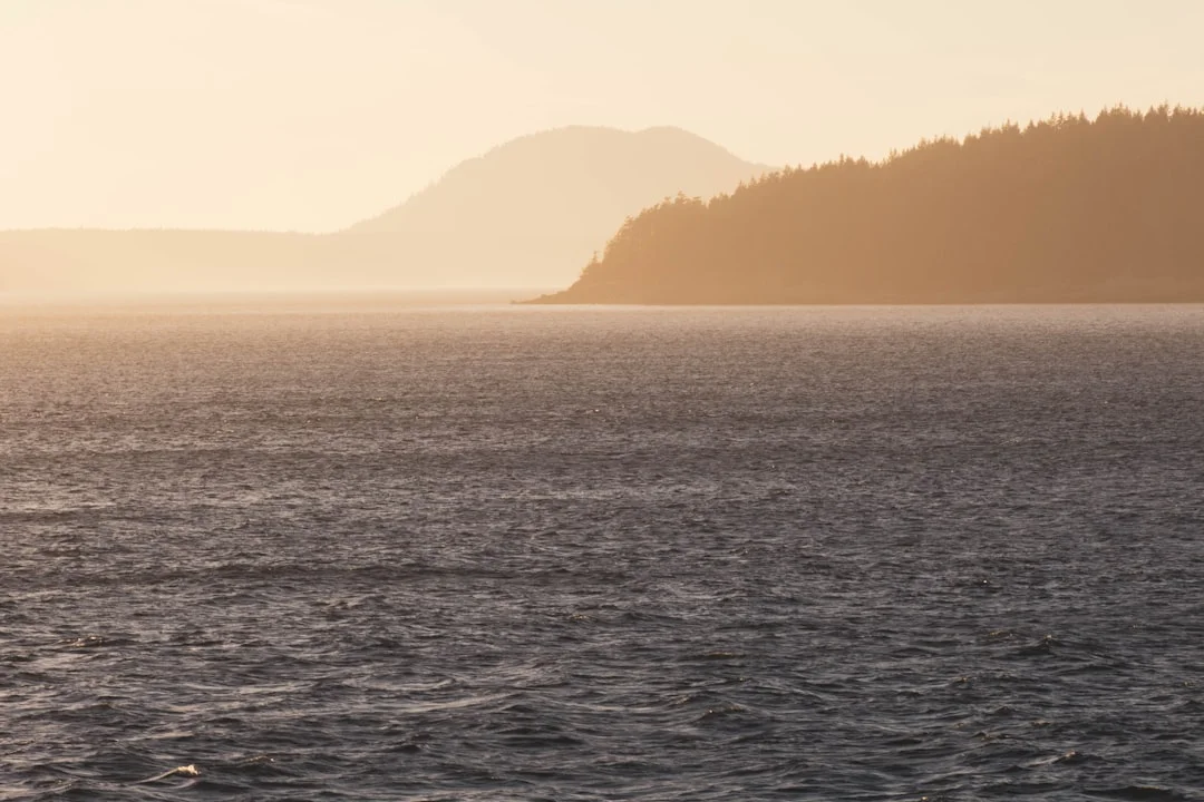
Photo by Ryan Stone on Unsplash
Overnight Moorings: Marinas, State Park Buoys, and Anchoring
Choosing the right overnight mode for your crew and boat systems
Overnight choices in the San Juans aren’t philosophical; they’re operational. Marinas buy you certainty, shore power, showers, and an easy dinghy situation, but you pay for it and you share the dock with late-night laughter and early-morning pressure washers. State park buoys and docks buy value and quiet, but require earlier arrivals and a better Plan B.
Anchoring buys flexibility, but you need real ground tackle and good habits. ABYC H-40 is worth a skim if your setup is marginal; reversing currents load gear differently than a steady breeze. In this region, current reversals are normal, not an edge case.
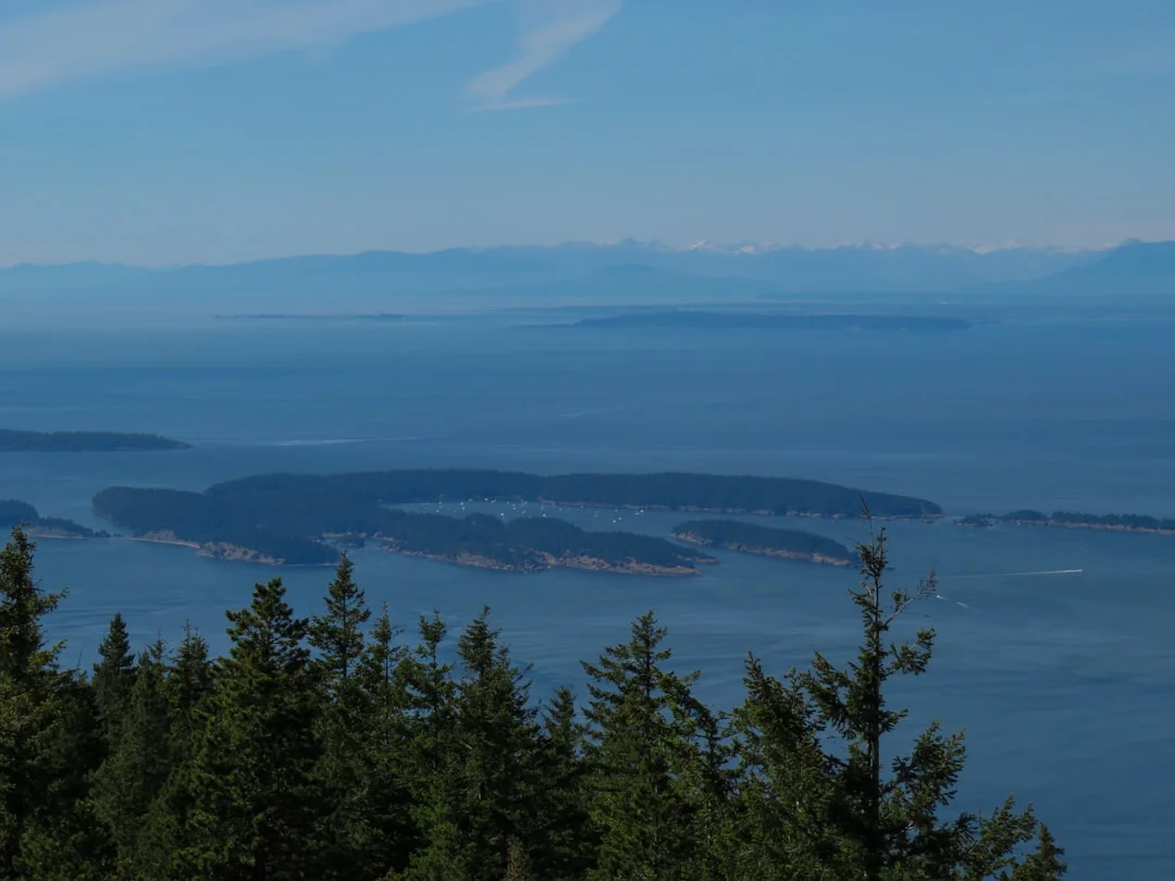
Photo by David Lang on Unsplash
Mooring-buoy pickup technique in reversing current
A mooring pickup in current is a small choreography, not a casual reach with the hook. Brief the crew, rig lines before the approach, and decide who is touching what. Approach into the dominant force (current first, wind second), and keep enough way on to maintain steerage—usually 1–2 kt is plenty.
Have a boat hook ready, plus a backup line already led outside lifelines. Many park buoys are single-point moorings, and signage may post max LOA around ~40 ft at some parks, so read it. If you miss the first attempt, circle around; the “hero lunge” is how people end up swimming.
Anchoring for current reversals: swing room, scope, and reset checks
Anchor planning here is about swing radius and reset discipline. If you anchor in 25 ft at high tide and you’ve got ~5 ft bow height, your working depth is ~30 ft. At 7:1 overnight scope, you’re looking at roughly 210 ft of rode—not a number you want to discover after you’ve dropped.
Set the anchor with power, then verify with transits and an anchor alarm. If the current reverses at 0200, your anchor may re-load from the opposite direction; check your swing room against neighbors who anchored “just for lunch.” Avoid last-light anchoring in kelp and rocks; daylight is cheaper than propellers.
| Overnight option | Typical nightly cost (San Juans) | Pros | Cons | Amenities | Arrival strategy | Best use |
|---|---|---|---|---|---|---|
| Marina (Friday Harbor/Roche/others) | $1.25–$3.00/ft + $5–$20 shore power | Reliable, services, easy access | Crowds, cost, dock noise | Power, water, showers, laundry, pumpout nearby | Arrive AM–early PM; call on VHF | Town night, bad weather, system reset |
| WA State Parks buoy | $12–$20 (often ~$15) | Quiet, good value, simple | Limited supply, size limits posted | Usually no power; shore access varies | Arrive by 1300–1500 in summer | Budget nights, quick stops, calm forecast |
| Anchoring | Often “free” (except permits if any) | Flexible, private, scenic | Requires skill/gear; dinghy tide issues | Your boat systems only | Scout in daylight; have Plan B cove | When buoys are full, longer stays, solitude |
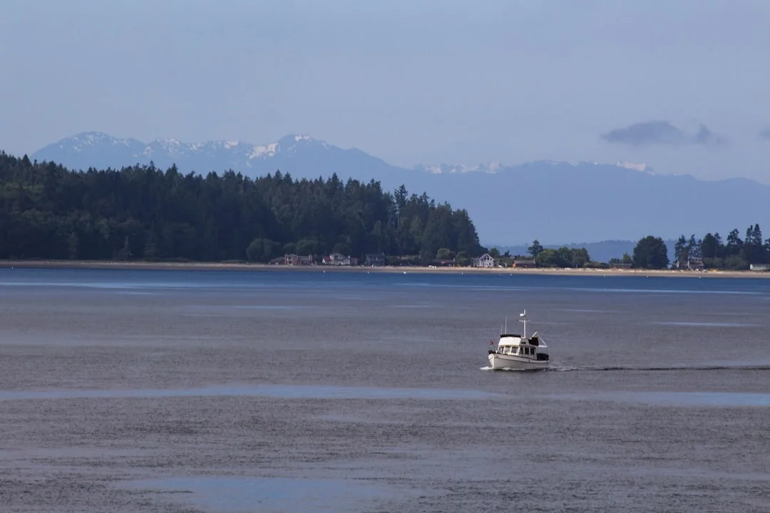
Photo by Ryan Stone on Unsplash
Top Overnight Stops: Friday Harbor, Roche, Sucia, Stuart, Spencer Spit
Town stops: Friday Harbor and Roche Harbor (logistics + approach mindset)
Friday Harbor is the classic resupply stop: fuel, pumpout, groceries, and a real walk ashore. It’s also the highest-demand moorage in peak season, and arrivals after mid-afternoon often find limited transient slips. If you want a slip, show up earlier and call on VHF 16 to request the working channel (often 68/69/71/72, but verify before you hail).
Roche Harbor is a different vibe—more resort, less working town—but it’s a solid systems stop. Typical peak transient rates commonly land around $1.50–$3.00/ft/night, and Friday Harbor often runs $1.25–$2.50/ft/night in-season, before add-ons like shore power. Confirm current rates and hours; marinas change policies like sailors change opinions.
Marine parks: Spencer Spit and other WA Parks patterns
Spencer Spit is popular because it’s a practical overnight: you can often snag a mooring buoy, sleep well, and get ashore without the full marina bustle. Washington State Parks moorage is commonly around $0.60/ft/night, meaning a 36 ft boat is roughly $22/night at that rate (seasonal; confirm locally). Buoys are commonly around $15/night, again subject to posted rates.
The pattern across parks is consistent: buoys fill first on fair weekends, docks fill next, and anchoring space gets tight if the cove is small. Bring a dinghy plan that works at low tide; with 6–12 ft range, some beaches and floats become awkward fast. If you’re counting on a beach landing, check what it looks like at low water, not at sunset.
Signature anchorages: Echo Bay and Reid Harbor (what “all-weather” really means)
Echo Bay (Sucia) and Reid Harbor (Stuart) earn their reputations, but “all-weather” is conditional. Protection depends on wind direction, available swing room, and how crowded the anchorage is when the current flips. A calm 10 kt evening is one thing; a 20 kt shift at midnight is another.
In Reid Harbor, plan for current reversal swing and give yourself margin from shoals and the anchored fleet. In Echo Bay, watch for rocky edges and kelp, and don’t tuck in so tight that you lose room to reset if you drag. These are places where I’m happy with 7:1 scope and a careful set, because I prefer sleeping to re-anchoring at 0300.
Wildlife stewardship and operational rules
The San Juans are also shared water—especially with Southern Resident orcas and the whale-watching armada. Follow posted regulations, slow zones, and stand-off distances; rules evolve, so check current Washington guidance before you go. Even when legal, it’s smart seamanship to avoid boxing wildlife in with your track.
Traffic density also spikes in summer. Keep speed down near crowded anchorages, minimize wake near kayakers, and don’t assume the other skipper sees you. Courtesy is not required by statute, but it does reduce the chance you’ll be the evening entertainment on someone else’s cockpit.
Navigation Tools, Charts, and High-Risk Areas (What Pros Carry)
Charting stack: ENC/raster + paper backups + cruising guides
My baseline kit is layered: NOAA ENCs on the plotter, a tablet backup, and paper or print-on-demand charts that cover the likely reroutes. For the core area, NOAA 18421 (San Juan Channel/Friday Harbor area) is a common anchor chart, plus adjacent coverage if you’re pushing toward Boundary Pass or the Strait. Add a reputable cruising guide like Waggoner for local notes that charts don’t capture, such as dinghy docks and typical holding.
Before leaving the slip, verify your waypoints are sensible and not copied from someone’s optimistic blog track. Set depth alarms based on your keel plus margin, and remember charted depths are to datum, not “today’s tide.” If you’re the skipper, your job is to be boringly prepared.
Traffic management: ferries, AIS, VHF, and narrow channels
San Juan Channel and Friday Harbor approaches can feel like a maritime commute. Ferries are fast, constrained by route and schedule, and they don’t stop quickly. AIS is a major advantage here for CPA/TCPA awareness, but it’s not permission to cross close ahead because “the numbers looked okay.”
VHF habits matter. Monitor Ch. 16, hail marinas on 16, then shift to their working channel (often 68/69/71/72, verify per marina). Use low power in harbor to avoid stepping on everyone, and keep your calls short and useful. In narrows, a securité call can be appropriate, but don’t turn it into a podcast.
Fog and visibility: sound signals, radar habits, safe speed
Fog happens, especially in the mornings, and it turns familiar water into a new exam. COLREGS/33 CFR 83 is the rulebook: safe speed, proper lookout, and the correct sound signals. If you have radar, use it actively—range rings, gain tuned, and targets tracked—rather than treating it as a glowing comfort blanket.
In restricted visibility, reduce sail early and be ready to motor for control. Keep a sharp ear for ferry horns and fast traffic, and don’t assume your AIS target list is complete. The best fog tactic is patience; the second best is a conservative speed and a very awake crew.
Fuel, Pumpouts, Provisions, and a 7-Day Cost Model
Where systems planning saves the cruise (water, holding, power)
San Juans cruising is easier when you plan systems like you plan currents. Holding tank capacity dictates how long you can stay out, especially with 33 CFR Part 159 sanitation rules and Washington no-discharge stewardship expectations. A mid-week town stop for pumpout and provisions turns a fragile itinerary into a flexible one.
Fuel planning matters too, because motoring into foul current burns more than you expect. Recent-season marina fuel prices commonly run about $5.00–$8.50/gal, varying by year and dock, so confirm before you commit to a long detour. I also like to note which stops have reliable hours, because “open until 1700” has ruined many a well-intentioned plan.
Budgeting by overnight type: $/ft vs buoy fees vs “free” anchorages
The cheapest week is mostly anchoring, but it’s only cheap if your gear and habits keep you off the rocks and out of the marina emergency slip. State park buoys at ~$15/night are often the best value when you can arrive early. Marinas cost more, but they buy rest, showers, and fewer variables—worth it when weather is up or the crew needs a reset.
If you want to estimate passage costs, estimate your fuel needs based on the voyage distance to total your route miles, then apply your burn rate (say 0.7–1.2 gal/hr for many auxiliaries, but use your real number). Add a current penalty on days you expect foul flow. That’s how you prevent “we’ll be fine” from becoming “why is the tank alarm yelling.”
Shore power and electrical safety at docks
Shore power is convenient and occasionally unforgiving. Most pedestals are 30A/125V or 50A/125–250V, and adapters (“dogbones”) are common. ABYC E-11 best practice is about preventing shock and fire: inspect cord ends, avoid overheated connectors, and know whether you have ELCI/GFCI protection onboard.
If your shore power cord has scorch marks, retire it. If the pedestal is corroded or loose, pick another or ask the dock staff. Electricity and seawater are a famously bad pairing, and you don’t win points for bravery.
| 7-night estimate (moorage only) | Mostly marinas (7 nights) | Mixed: 2 marinas + 3 park buoys + 2 anchoring | Mostly anchor: 1 marina + 2 park buoys + 4 anchoring |
|---|---|---|---|
| 30 ft boat | 30×$2.00×7 = $420 | (30×$2×2) + (3×$15) = $165 | (30×$2×1) + (2×$15) = $90 |
| 36 ft boat | 36×$2.00×7 = $504 | (36×$2×2) + (3×$15) = $189 | (36×$2×1) + (2×$15) = $102 |
| 42 ft boat | 42×$2.00×7 = $588 | (42×$2×2) + (3×$15) = $213 | (42×$2×1) + (2×$15) = $114 |
Notes: Marina rate shown as a mid-range placeholder $2.00/ft/night; shore power adders (**$5–$20/night*), park dock fees (~$0.60/ft/night), showers/laundry ($2–$10/use), and pumpouts ($5–$25) can move totals materially. Confirm current rates at each stop.*
Frequently Asked Questions
For Deception Pass, what NOAA current station(s) should I use, and how far before published slack should I aim to arrive if currents can exceed 6–8 kt during springs?
Use NOAA Tidal Current Tables for the station specifically labeled for Deception Pass, not a nearby “close enough” point. On spring tides where currents can exceed 6 kt and approach ~8 kt, plan to be at the approach and fully set up 15–30 minutes before published slack, so you’re not rushing a narrow transit. If your timing is off by 20 minutes on a big exchange, waiting is usually the smarter move.
How do I compute anchoring depth and scope in the San Juans when tidal range is 6–12 ft—using chart datum, predicted tide height, and a 5 ft bow height?
Add charted depth (to datum) + predicted tide height at your anchoring time + bow height to your roller. Example: chart shows 25 ft, tide is +8 ft, bow height is 5 ft → working depth 38 ft. For 7:1 scope, 38×7 ≈ 266 ft of rode; if you only have 200 ft out, you’re closer to 5:1 and should adjust expectations accordingly.
When transiting Cattle Pass in 15–20 kt winds, what timing and routing minimizes tide rips/overfalls if the current is opposing the wind?
When wind is 15–20 kt and opposing current, plan the Cattle Pass transit near slack or with favorable current, because that’s when rips and overfalls are least developed. If you can’t get favorable timing, reduce sail early, keep the boat powered and controllable, and avoid hugging the roughest water where the stream accelerates around points. If crew comfort is degrading, delaying an hour is often the best “routing.”
What VHF calling sequence and channel plan works best when approaching Friday Harbor or Roche Harbor with heavy traffic—monitoring 16, switching to a working channel, and using low power in harbor?
Monitor VHF 16 on approach, then hail the marina on 16 with your boat name, length, and request for transient moorage. They’ll typically direct you to a working channel (often 68/69/71/72, but verify per marina). Once in the harbor, switch to low power and keep transmissions short, because high power in a tight basin just steps on everyone else.
Which NOAA charts/ENC cells should I carry for an Anacortes–San Juans loop that may include Boundary Pass, and how should I set safety contours for rock/kelp margins?
Carry NOAA ENC coverage for your whole loop, with NOAA 18421 as a common core chart for San Juan Channel/Friday Harbor, plus adjacent Strait/Boundary Pass coverage if you’ll be on the edges. Set a conservative safety contour based on your draft plus margin, and treat kelp and reef margins as “no-cut corners” zones even if the plotter shows a tempting shortcut. In these islands, saving 0.2 NM is rarely worth the risk of meeting a rock that doesn’t care about your schedule.
About the Author
Related Articles
Amalfi Coast vs French Riviera Sailing Guide (Costs & Routes)
Compare Amalfi Coast vs French Riviera sailing—costs, crowds, mooring rules, best months, and 7-day routes. Choose your coast and plan now.
By Breezada Team
Puget Sound Cruising Guide to Gulf Islands Routes
Plan routes, anchorages, and weather windows with this Puget Sound cruising guide for the Gulf Islands & San Juans. Read now and start plotting.
By Breezada Team
Sailing Amalfi Coast Guide: Ports, Anchorages & Rules
Sailing Amalfi Coast guide to Capri, Positano & Amalfi: best ports, anchorages, fees, VHF and rules. Plan your route—read now.
By Breezada Team
Dry Tortugas Sailing: Routes, Anchoring & Permits
Plan Dry Tortugas sailing from Key West with routes, weather windows, anchoring/moorings, and permits. Read the guide and plan your trip.
By Breezada Team